Trail Profile: Corner Brook Connector
Running through the city of Corner Brook, Newfoundland, the Corner Brook Connector is ideal for walking, jogging and cycling in the summer, and walking or snowshoeing in the winter, weather depending – and taking in the incredible views en route. Plus, you can explore the heart of Corner Brook along the Trans Canada Trail!
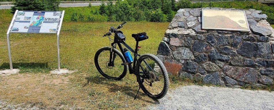
Photo credit: Scott Remo
What we love about this trail section
• It takes you through an older neighbourhood of Corner Brook, nearby monuments and attractions
• It’s very scenic! Ocean and river views abound.
• It features updated signage that delves into the history of the area
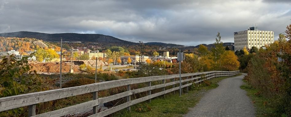
Photo credit: Ryan Thom
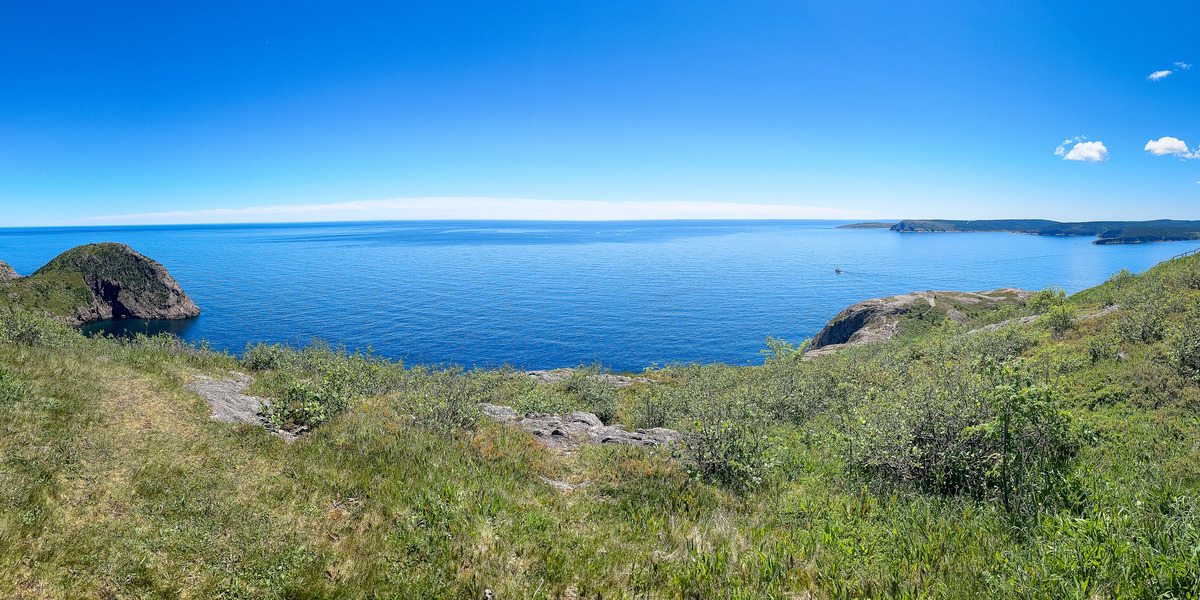
Ocean views on Trail
The Corner Brook Connector spans over 20 kilometres. It links up with the Newfoundland T’Railway near Steady Brook to the east, and follows the Humber River, and then the Atlantic Ocean, through Corner Brook and west to near Mt. Moriah, offering incredible waterfront views en route.
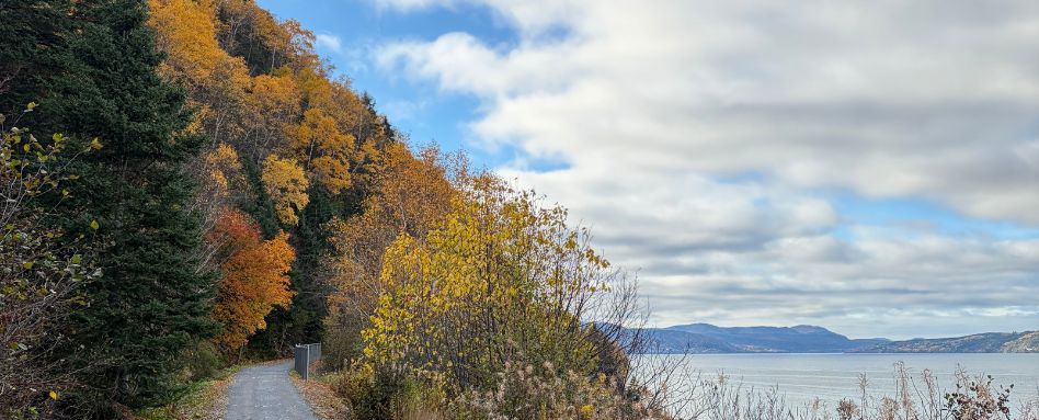
Photo credit: Ryan Thom
Passing through Crow Gulch
The trail also travels through a former Indigenous community, Crow Gulch, which was resettled in the 1960s to make way for Corner Brook’s expansion. Today, trail users can find a mural commemorating the neighbourhood’s history near Griffin Drive, created by Mi’kmaq artists Jordan Bennett and Marcus Goose, which was unveiled in 2021.
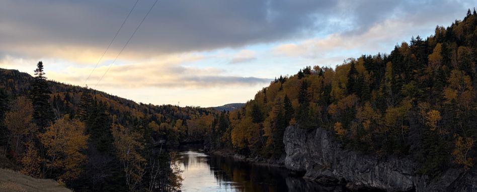
Photo credit: Ryan Thom
The man in the mountain and other attractions
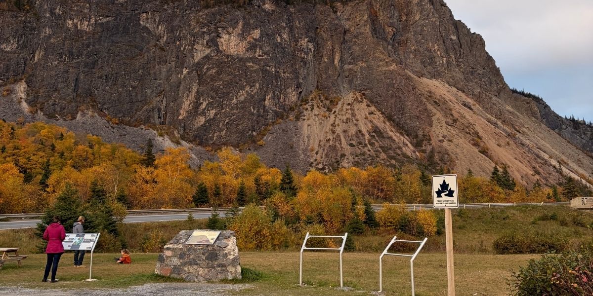
The Corner Brook Connector also offers an incredible view of the Man in the Mountain geological formation, and takes you near Marble Mountain Resort — a popular ski resort just east of Corner Brook. Along the Trail in Corner Brook, you can access the heart of downtown, where you’ll find Remembrance Square, featuring a statue paying homage to those who served in the Canadian military; the Corner Brook tourist sign, perfect for photo opps; and more. In the Curling neighbourhood, Bartlett’s Point Park offers exceptional views.
Photo credit: Scott Remo
Interpretive signage about the history of the area
Along your route, you’ll find signage explaining the history of the Bank of Montreal building – the first chartered bank to open in Western Newfoundland – and the rails to trails transition in the area, which culminated in the Newfoundland T’Railway being built.
Explore Newfoundland trails on our interactive map!
Main photo credit: Scott Remo


