7 Questions with the GIS Team at Trans Canada Trail

November 19 is International GIS Day, so we’re taking this opportunity to chat with our incredible GIS (geographic information systems) team here at Trans Canada Trail.
Meet Lesley, Jenna and Joe – the GIS dream team – and check out their answers below to some GIS-related questions below.
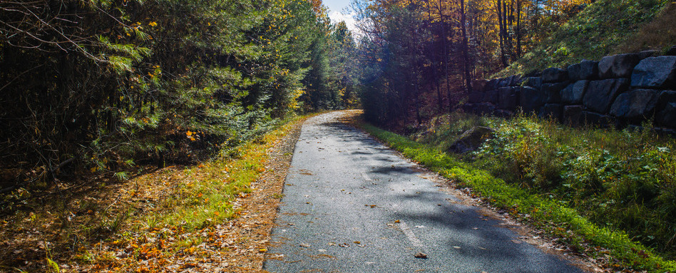
Photo credit: Jennifer Mahon
What is your favourite Trans Canada Trail section?
LJ: Lake Superior Water Trail (Ontario): Lots of great memories of camping/paddling growing up!
JS: Fish Creek Provincial Park (Alberta): the section near Annie’s Cafe for an ice cream break.
JY: Parc linéaire Le P’tit Train du Nord (Quebec): Beautiful scenery and towns.
What is the coolest/most interesting project/work-related task you get to work on?
LJ: The new pavilion map in Montreal that I produced – It’s huge! And I get to look at it often biking by.
JS: Combining data from different sources — like maps, imagery, and field info — to find the true trail path, even in areas I’ve never visited.
JY: Exploring climate and environmental datasets to analyze the environmental context of the Trans Canada Trail.
What do you wish people knew about GIS?
LJ: GIS is more than static maps – We can build dynamic web applications, exciting visuals and engaging content.
JS: GIS isn’t just about where things are in relation to each other but can also be about how they relate/interact/influence other features around them.
JY: How ubiquitous it is. Most Canadians use GIS in some form every day!
What is your top tip for our map users?
LJ: Use trail surface view! It can help you find where there’s gravel and paved trail sections.
JS: The elevation profile graph helps you get an idea of how steep a section of trail is.
JY: Use the Measure the Trail tool to download a spatial file for a custom section of trail.
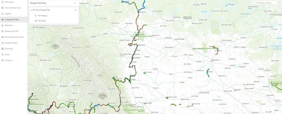
Photo credit: Trans Canada Trail
What is your favourite GIS-related song, book or app?
LJ: Earth as Art collections – USGS (https://eros.usgs.gov/media-gallery/earth-as-art)
JS: The song “I’ve Been Everywhere” by Hank Snow
JY: iNaturalist for crowdsourcing biodiversity observations and identifying organisms.
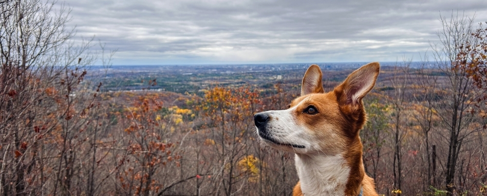
Joe’s dog on the Trail. Photo credit: Joe Young
What is your favourite GIS/geography fun fact?
LJ: When you are at a very remote location in the Pacific Ocean called Point Nemo, you can be closer to the astronauts on the ISS than to any other person on Earth (400 km up)!
JS: The tallest mountain depends on where you measure. Everest is the tallest from sea level, but Mauna Kea in Hawaii is tallest from base to peak (but most of it is under water).
JY: Traveling the entire Trans Canada Trail is equivalent to traveling around the circumference of the moon almost 3 times.
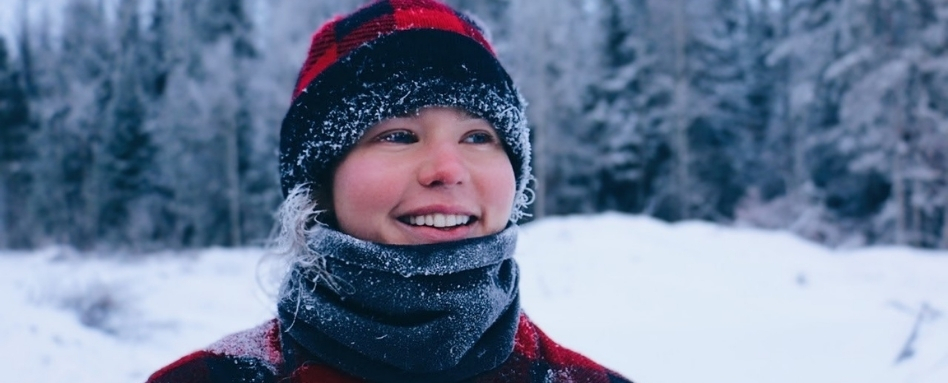
Photo credit: Lesley Johnson
If you could design a map for anything (outside of work), what would it be? Real/imaginary worlds included.
LJ: For the summer, a bike-routing algorithm that would use radar data to automatically tell me where around my area I should bike to avoid thunderstorms as they develop throughout the day.
JS: A map of all the portraits in Hogwarts with network analysis to visualize portrait pathways to see where they can move between frames.
JY: Use viewshed analysis and solar exposure modeling to map the perfect sunset viewing spots every day of the year.
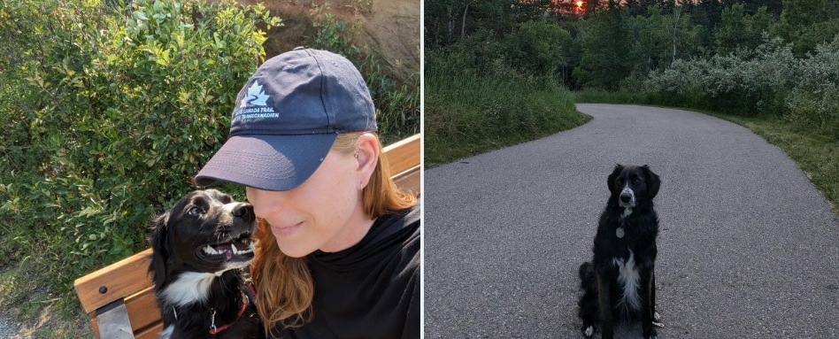
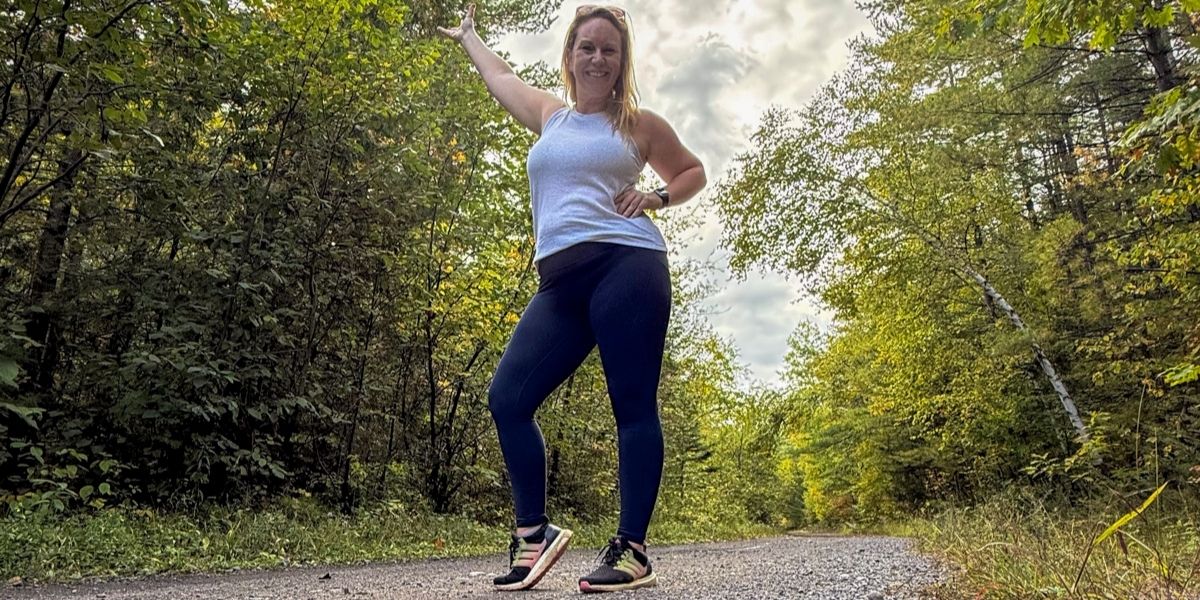
Jenna and her dog on the Trail. Photo credit: Jenna Sie.
Explore Trans Canada Trail’s interactive map and find great tips in the FAQ!
Thank you to Esri Canada for their continued support of the Trans Canada Trail’s mission and vision.


