
Ali’s Trans Canada Trail: Reflections on the Water

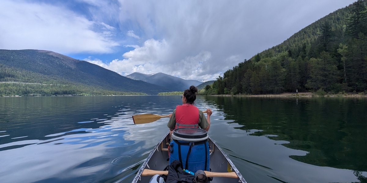
Seeing Nelson anew from the West Arm Paddle Route
After spending the better part of two decades in Nelson, BC, I thought I knew this place pretty well.
I knew the mountain trails, the coffee shops, the familiar curve of the waterfront, the Big Orange Bridge, and the way the surrounding mountains seem to hold the city in place. But it turns out there was an entirely different version of Nelson waiting for me, one I had somehow never really seen before.
All I had to do was get on the water.
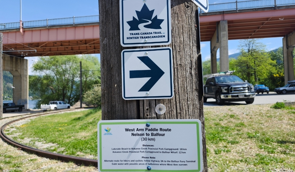
Photo credit: Ali Becker
Exploring the West Arm Paddle Route
Our plan was to paddle a section of the West Arm Paddle Route, the Trans Canada Trail’s water route from Nelson towards Balfour.
From the water, the city softened. The houses tucked into the hillside looked smaller. The bridge looked bigger. Lakeside Park, the treed slopes, the rooftops, and the mountains all reflected back at us from the calm surface of Kootenay Lake. It was familiar and completely new at the same time.
That became one of the greatest gifts of the trip: getting to know the West Arm in a new way.
On land, it’s easy to think of the lake as a backdrop. From a canoe, it becomes the whole world. You notice where the water narrows and widens. You feel how the wind moves through the valley. You start to understand how current, shoreline, weather, and distance all matter in a way they don’t when you’re simply looking out from shore.
There’s something ancient and grounding about travelling by water. Long before roads and rail lines, waterways were routes of connection, movement, trade, food, and story. The West Arm has long been part of the traditional territories and travel routes of the Sinixt and Ktunaxa peoples.
Sitting low in a canoe, moving at the speed of your own body, it’s hard not to think about how many people have travelled this way before. The West Arm isn’t just scenery. It’s a corridor, a living route, a place shaped by movement, history, weather, and water.
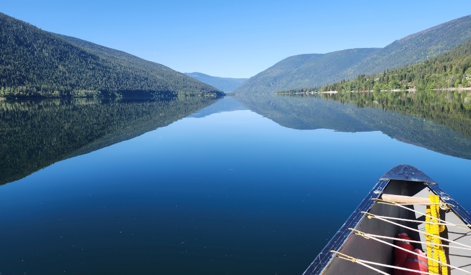
Photo credit: Ali Becker
In a canoe, you notice everything
The clouds changing shape above you. The brief disappearance of the sun behind a passing shadow. The sound of leaves clapping along the shoreline. The bright white head of a bald eagle above the trees.
We had been given good advice by people with more paddling experience than us: stay close to shore, especially in spring. The water was cold, the freshet was strong, and while the air was pleasant for paddling, it wasn’t hot enough to make a swim feel all that enticing. So we wore our PFDs, kept within swimming distance of land, and treated the lake with the respect it deserves.
We paddled along the south side of the West Arm, near the railway tracks, watching reflections ripple and reform around us. In places, the water was so calm it looked like glass. The trees, mountains, and clouds appeared twice, once above us and once below, and every paddle stroke gently broke the image apart.
At Troup Beach, we pulled in for a snack and coffee. It’s a beautiful little stop at Five Mile Point, accessible by land on The Great Northern Rail Trail, with views back toward Nelson and Toad Mountain. From shore, it looked like we had only travelled a short distance, but somehow felt like we’d entered a completely different world.
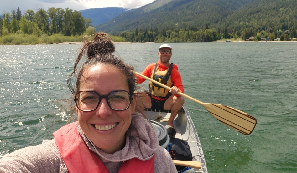
Photo credit: Ali Becker
The West Arm kept shifting
As the day went on, the West Arm kept shifting. Sand beaches gave way to rock shores. Calm water gave way to wind. Sun gave way to rain which gave way to a rainbow stretched across the lake. We passed quiet pockets of shoreline, lakeside homes, forested slopes, and the Harrop cable ferry, each one offering another small reflection of life along the water.
Eventually, as we approached Fraser Narrows, where the West Arm tightens and the current becomes stronger, we made the call to turn back. As first-time multi-day paddlers travelling during spring freshet, it felt like the right decision.
The West Arm Paddle Route is a beautiful journey, but like any water route, timing and conditions matter. For newer paddlers hoping to travel the full route from Nelson to Balfour, it’s worth choosing calm weather, paddling during lower-flow periods, starting early, staying close to shore, wearing a PFD, and staying flexible enough to adjust the plan as conditions change.
We didn’t paddle the entire 30 kilometres to Balfour. But we did discover something I’ll never forget: adventure doesn’t always require finishing the full route. Sometimes it comes from seeing a place you already love from a completely different angle.
For me, the West Arm Paddle Route offered exactly that, a slower, quieter, more intimate way to experience Nelson, Kootenay Lake, and the Trans Canada Trail.
After all these years of living beside this water, it felt pretty special to finally meet it from the seat of a canoe.
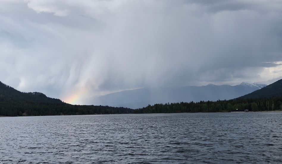
Photo credit: Ali Becker
Ali Becker is a freelance writer and full time adventurer who loves spending time in nature, riding bikes in the backcountry and exploring the outdoors in new ways. You can follow her travels online at @thisisalibecker or @trip.longer on IG.
Explore canoeing and paddling routes across Canada on our interactive map.
About Trans Canada Trail
Stretching 30,000 kilometres across every province and territory, the Trans Canada Trail is cared for locally by trail and community groups. As a charity, Trans Canada Trail advocates for and stewards this nationwide system. We support community-led trail projects through the Trail Catalyst Fund and we share reliable trail knowledge through the Centre for Trail Excellence.
Main photo credit: Ali Becker