
Andréanne’s Trans Canada Trail: The Vast Playground of Greater Sudbury’s Rainbow Routes

Written by Andréanne Joly (translated from French)
Greater Sudbury is home to a great treasure.
But unlike the veins of metal associated with the Nickel Capital of the World, this treasure isn’t buried underground. It’s a vast network of more than 40 trails — a jewel that would be the envy of any city.
The Trans Canada Trail joins up with this trail system, which is maintained by the Rainbow Routes Association and crosses Greater Sudbury from Wahnapitae to Nairn Centre, forming a greenway around 100 kilometres long. Rachel Mantas, the association’s Executive Director, shares two of her favourite sections of the Trans Canada Trail in Sudbury with us.
Photo credit: Andréanne Joly
South of Ramsey Lake: Lake Laurentian
Ramsey Lake is an expansive body of water in the heart of Sudbury. Its shores are home to the downtown core, Bell Park, the Science North science centre, university campuses, and, to the south, a vast area of protected wetlands: Lake Laurentian Conservation Area.
Rachel Mantas loves spending time at Moonlight Beach on the eastern tip of the lake. It’s a great place to swim and watch the sunset. Sometimes, she leaves her car in the parking lot and heads to the nature reserve on foot. It’s an easy hike to the Laurentian University trail, after which the path gets a little steep. There are stairs in some spots to make the climb easier. “Trans Canada Trail helped fund the restoration of a staircase in 2024,” Rachel says.
The Point Trail lookout offers sweeping views of Lake Laurentian — it’s the perfect place to rest and have a bite to eat. “I love this part of the trail. Often, the incline forces you to slow down. But there are shady spots, and in high summer, the trail is bursting with blueberries!”
This linear hike is just under 10 km, from Moonlight Beach to the end of the Bethel Lake Trail.
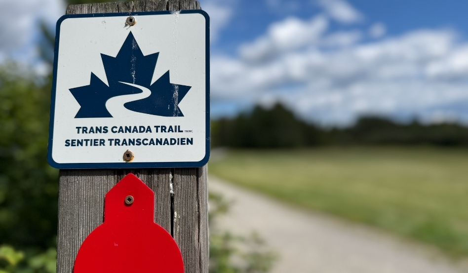
Photo credit: Andréanne Joly
To the west, from Fielding Park to Junction Creek
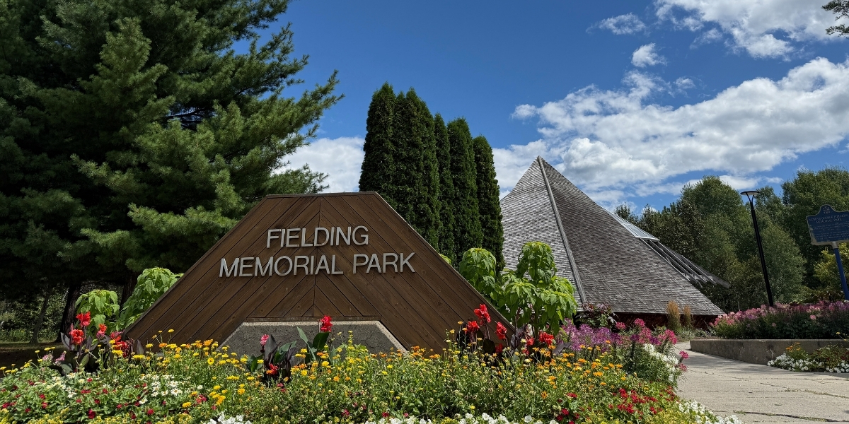
To the west of the city, Fielding Memorial Park offers a very different experience: a flat and accessible 1.5-kilometre greenway loop. It features two viewing platforms overlooking Kelly Lake. The park mainly serves as a bird sanctuary, where visitors can observe species such as the trumpeter swan, the green heron, and the mallard. It also offers a good view of the Copper Cliff Superstack. Here, Sudbury’s industrial heritage sits quite naturally alongside its green spaces.
This hike can easily be extended — the loop continues west toward the Hillfield Trail and east toward the Kelly Lake Trail, partly along a road. Both of these options are rated as moderate, mainly due to the exposed rocks and roots along the paths.
Kelly Lake Trail is 4.5 kilometres long. By climbing a few rocks along the way, hikers can enjoy views of the surrounding landscape. The Hillfield Forest Trail is a 2-kilometre greenway with bridges and stairs, running along Junction Creek and ending at Lively’s sports complex.
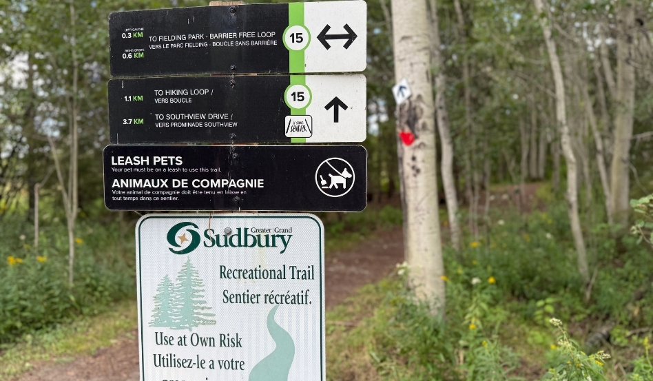
Photo credit: Andréanne Joly
Plenty of ways to enjoy the trails
There are countless ways to explore Greater Sudbury’s trails.
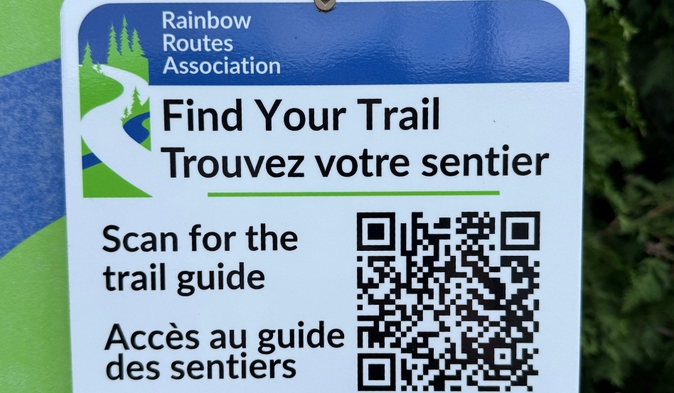
Hikers who love a challenge can pick up the trail guide and purchase a set of stickers designed by local artist Art & Anne, placing each matching sticker in the guide as they complete a trail. This activity is a great way to support the organization financially as well. “Members who complete the guide will get an ‘I Heart Rainbow Routes’ pin,” Rachel Mantas explains.
Rainbow Routes also offers a full schedule of activities for the community.
For example, every August, they hold a major event called the Camino, a 15- or 30-kilometre hike along the Trans Canada Trail. Some people use this event as a way to prepare for the actual Camino pilgrimage to Santiago de Compostela. For others, it’s an opportunity to spend a few hours in nature, with clearly marked trails and volunteer teams on hand to provide peace of mind. The 2026 edition had more than 300 participants.
“It’s easy to stay home and relax,” says Rachel Mantas. That’s why Rainbow Routes has developed activities that get people onto its trail system, which is a place for connection and relaxation at its core. One example is a series of interpretive hikes led by volunteer expert guides—covering topics such as stargazing, history, and botany. They also run hiking initiation programs designed to get new hikers started and ready to tackle longer distances.
Nickel Capital or City of Lakes? In 1978, Sudbury set out to shake off its reputation as a city ravaged by pollution. And the initiative has been a success — each of Sudbury’s 42 trails and the Trans Canada Trail in the area are proof of the magic of reforestation. “Sudbury has really come back to life,” says Rachel Mantas.
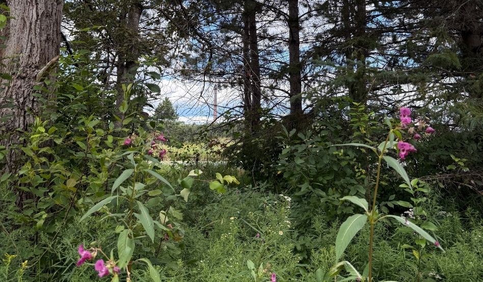
Photo credit: Andréanne Joly
Andréanne Joly enjoys discovering new places through their landscapes, history, and local culture. A freelance journalist and copywriter specializing in tourism for over 25 years, she writes for numerous Canadian media outlets and organizations, including ICI Première, Trans Canada Trail, NorddelOntario.ca and Northern Soul by Landsby. She is also a contributing author of the books En train au Canada (Gallimard Loisirs, 2025) and Le Canada en van et VR – 25 itinéraires de rêve (Ulysse Travel Guides, not yet released).
**
To learn more about Sudbury’s trail system, see our interactive map!
By supporting Trans Canada Trail, you’ll help to ensure that the Trail will be around for generations to come — as a place to connect to nature and to one another.
Feature photo credit: Andréanne Joly