
Cathy’s Trans Canada Trail: Exploring New Brunswick’s “Blue Trails”

Written by Cathy Donaldson
The Trans Canada Trail does not always end at the water’s edge. Some segments are “blue trails” — water routes that can be explored by canoe, kayak or paddleboard.
As shown on the Trans Canada Trail map, New Brunswick’s designated blue trail follows the Lower River Passage of the Wolastoq, also called the Saint John River. Beginning near Oromocto in the Fredericton Capital Region, it winds south for about 100 kilometres to Grand Bay-Westfield, past sheltered islands, historic wharves and communities shaped by the river. The route lies within the traditional territory of the Wolastoqiyik, the Indigenous people of the Wolastoq watershed. Their name means “people of the good and bountiful river.”
The Lower River Passage represents only part of the Wolastoq’s course through this province. In 2013, the river’s entire 400-km New Brunswick section was designated a Canadian Heritage River for its outstanding cultural heritage values. For generations, the Wolastoq has served as a highway, fishing ground and gathering place, as well as a setting for recreation.
Paddling the Trans Canada Trail
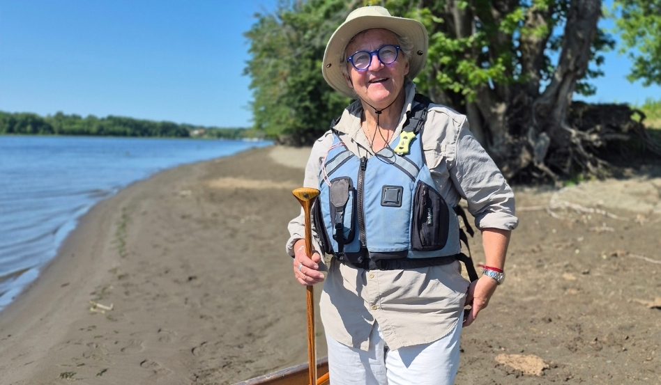
Moon Joyce stands beside her canoe on the shore of Thatch Island. Photo credit: Cathy Donaldson.
To explore the Trans Canada Trail section of the Wolastoq, I joined Moon Joyce for a paddle in her canoe, launching from Burton Courthouse Wharf near Oromocto on a sunny August morning. An experienced paddler and longtime outdoor educator, Moon lives in the area and graciously agreed to guide me.
It had been years since I’d been canoeing, but I quickly got back into the groove. (Well, once I got myself properly situated before we pushed off — after Moon gently pointed out I was facing the wrong way.)
We headed upriver along the Wolastoq toward Thatch Island, with a slight breeze rippling the wide blue river and lush summer greenery framing its banks. With little but the rhythmic dip and splash of our paddles breaking the quiet, I was transported back to childhood canoe outings, when I’d sit happily in the middle while my parents paddled at either end. Just us, the canoe and whatever nature revealed along the way.
Thatch Island soon brought me back to the present. We pulled ashore in search of its elusive summer residents — cattle ferried over by boat to graze for the season. The animals remained hidden, but an eagle perched high in a treetop caught my eye. I tried to photograph it with my cell phone but soon gave up, wishing I’d brought my camera and long lens. Instead, I simply enjoyed the peace.
When we resumed paddling after our island stop, Moon recalled the wilderness expeditions that helped cement her love of canoeing. The boats she paddled then were a far cry from the lightweight Kevlar model carrying us that morning.
“They were those big aluminum Grummans,” she said. “They weighed 85 pounds and went through a lot, as did we!”
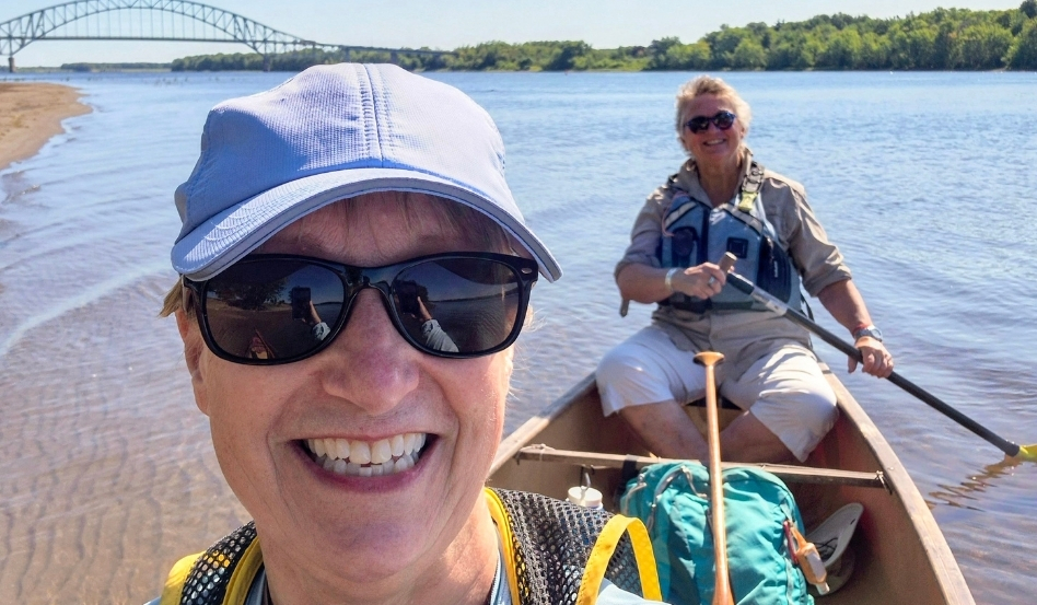
Moon Joyce and author Cathy Hird set off near the Burton Courthouse Wharf, paddling toward the Burton Bridge on the Wolastoq. Photo credit: Cathy Donaldson.
Protecting access and heritage
I connected with Moon through Dino Kubik of the St. John River Society, a non-profit organization that helped develop the Lower River Passage and now works with Trans Canada Trail to protect public access and steward the route.
Kubik explained in a later interview that Burton Courthouse Wharf is one of 13 heritage steamboat wharves for which the society holds the deeds. An online map of the wharves helps visitors locate these public access points along the lower Wolastoq.
The St. John River Society is also developing “passage paddles” that follow sheltered channels once used by steamboats to avoid strong winds and currents — historic routes that can now offer recreational paddlers a gentler journey.
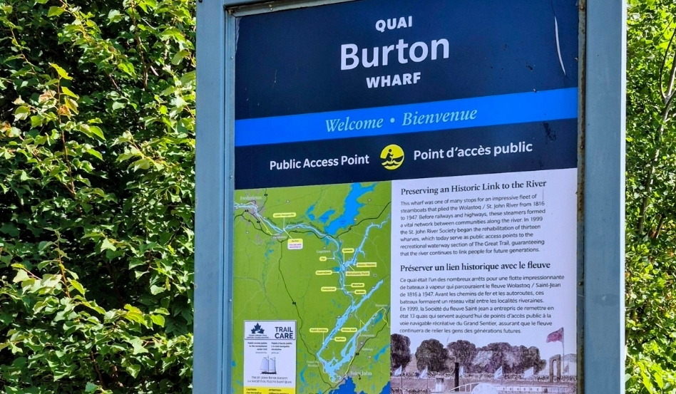
Signage at Burton Wharf highlights the site’s history, while a Trans Canada Trail Trail Care marker identifies the wharf as a public access point to the recreational water trail stewarded by the St. John River Society. Photo credit: Cathy Donaldson.
A regional paddling network
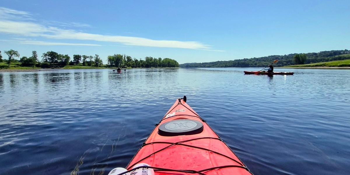
A week before canoeing with Moon, my older daughter and I joined David Seabrook, director of tourism for the Fredericton Capital Region, for a two-hour paddle in single kayaks along the Wolastoq. We launched at Hartt Island Campground and paddled downstream to the Fredericton River Centre, following one of the new Wolastoq Watershed Paddling Trails. This regional paddling network also encompasses the section I later paddled with Moon, which falls within its Canadian Heritage River Route and Thatch Island (Oromocto) Loop. The Hartt Island-to-Fredericton River Centre section, however, is outside the designated Trans Canada Trail route.
The work of mapping and validating routes for the Wolastoq Watershed Paddling Trails grew out of a simple problem: New Brunswick has no shortage of inviting waterways, but much of the practical information paddlers need has traditionally remained local. Seabrook calls this “the Uncle John’s problem.”
“You ask a longtime paddler where they put in, and the answer might be ‘Uncle John’s backyard,’” Seabrook said with a chuckle as we drove to our launch site. “Well, we can’t advertise Uncle John’s backyard.”
The Wolastoq Watershed Paddling Trails website makes that informal local knowledge accessible to everyone. Working with Paddling NB, Fredericton Capital Region Tourism mapped and safety-tested 23 recreational routes. Online guides detail public access points, distances, potential hazards, logistics and nearby places to rent equipment, eat or stay. The routes span the Wolastoq, Oromocto and Nashwaak rivers, Nashwaaksis Stream and Salmon River.
Wolastoqey guidance also shaped the initiative: Elder Imelda Perley advised the project, and Sitansisk (St. Mary’s First Nation) artist Percy Sacobie designed its logo.
For Seabrook, the extensive groundwork pays off once paddlers hit the water.
“Seeing the city from the water gives you a completely different vantage point,” he said. “It’s peaceful, it’s educational, just a whole different vibe.”
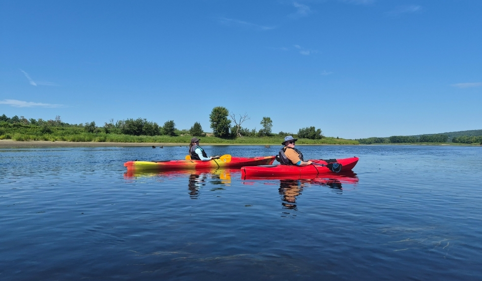
Sarah Donaldson and David Seabrook paddle side by side across a calm stretch of the river. Photo credit: Cathy Donaldson.
Paddling toward a national goal
Did you know that a paddle on the Lower River Passage — or any of the country’s waterways — can count toward a national goal this September?
Trans Canada Trail’s second Great Canadian Hike welcomes walking, rolling, cycling and paddling, whether on or off the Trail. From Sept. 1 to 30, participants will collectively aim for 100,000 km while raising funds for Trail projects. Happy paddling!
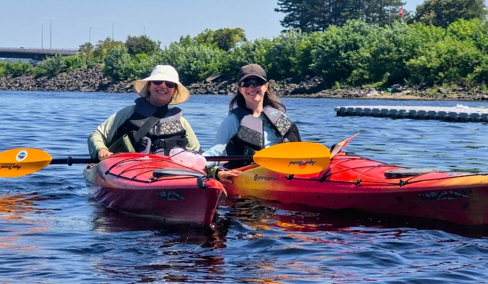
The author, left, and her daughter, Sarah, approach the final stretch of their outing. Photo credit: Cathy Donaldson.
Disclosure: The writer was a guest of Fredericton Capital Region Tourism while in Fredericton.
Cathy Donaldson is a travel journalist based in Moncton, N.B. Follow her work:
• Website: www.cathydonaldson.ca
• Blog: Donaldson on Assignment
• Facebook: https://www.facebook.com/cathy.k.donaldson
• Instagram: @cathykdonaldson
• LinkedIn: @cathydonaldson
• Threads: @cathykdonaldson
Register today for the Great Canadian Hike!
Feature photo credit: Cathy Donaldson