
It’s GIS Day! Highlights from the GIS Team at Trans Canada Trail

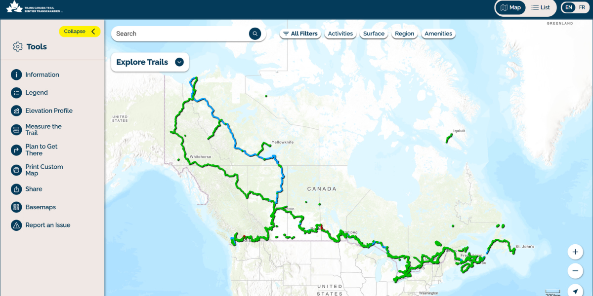
Happy GIS Day! Geographic information systems (GIS) are key to helping improve the trail user experience from coast to coast to coast here at Trans Canada Trail. From updating our web map to tracking trail-user trends and so much more, our GIS team is a treasured part of the organization. And what better time than the present to celebrate some of the team’s recent updates and accomplishments?
Recent successes: Sharing how GIS can inspire support across sectors
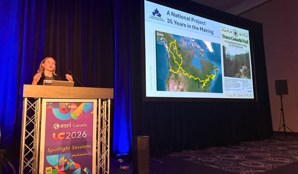
Under the theme “GIS – Creating a More Intelligent World,” the October 2026 Esri Canada User Conference in Toronto brought together 1,600 attendees from the private, public and non-profit sectors, along with representatives from several towns and municipalities. It was an excellent opportunity to network with on-the-ground trail partners and GIS experts from across our network and beyond.
Lesley Johnson, GIS Manager at Trans Canada Trail, presented at the first-of-its-kind “GIS for Good” spotlight session. Alongside fellow panelists from Food Banks Canada and the BC Parks Foundation, Lesley explored how good data, strong storytelling and easy-to-use web maps can build compelling cases for philanthropic support.

Ongoing progress: Improving trail information using open data
Another exciting update: the GIS team has been hard at work, using open data to improve trail information on our interactive web map, including checking trail names, refining mapped routes and ensuring details about amenities are up to date.
An important element of this work is the use of OpenStreetMap (OSM), a collaborative, open-source geographic database maintained by contributors around the world. Our team is working closely with experts at OSM to improve trail data standards in Canada.
Aligning our information and incorporating OSM data into our workflow means that our GIS team can access trail information in a way that was not previously available. “It gives us a new tool in our toolbox that complements the data we receive from trail partners,” Jenna Sie, Coordinator, GIS, with Trans Canada Trail.
For trail users, incorporating OSM data means that trail information across the 30,000-kilometre network is kept up to date more comprehensively, and with more accuracy, than in the past – improving user experience and helping to provide safe access to trails within our network.
On the horizon: New interactive webmap with an upgraded mobile experience
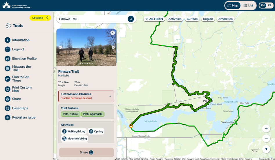
So, what’s next for our incredible GIS team? “We’re so excited to offer a sneak peek of our new interactive webmap,” says Joe Young, Analyst, GIS. “We’re working hard on and anticipate unveiling sometime in 2027.” The new webmap features several upgrades, including the following:
• An updated UI with improved user experience
• A new list view to browse network of trails
• Fully supported mobile version for in-browser use
Take a look at what to expect below.
Explore our existing interactive web map here.
Thanks to our 30-plus-year partnership with Esri Canada, Trans Canada Trail is able to maintain data for 30,000 kilometres of trail across Canada – and communicate the value of trails to Canadians and tourists alike.
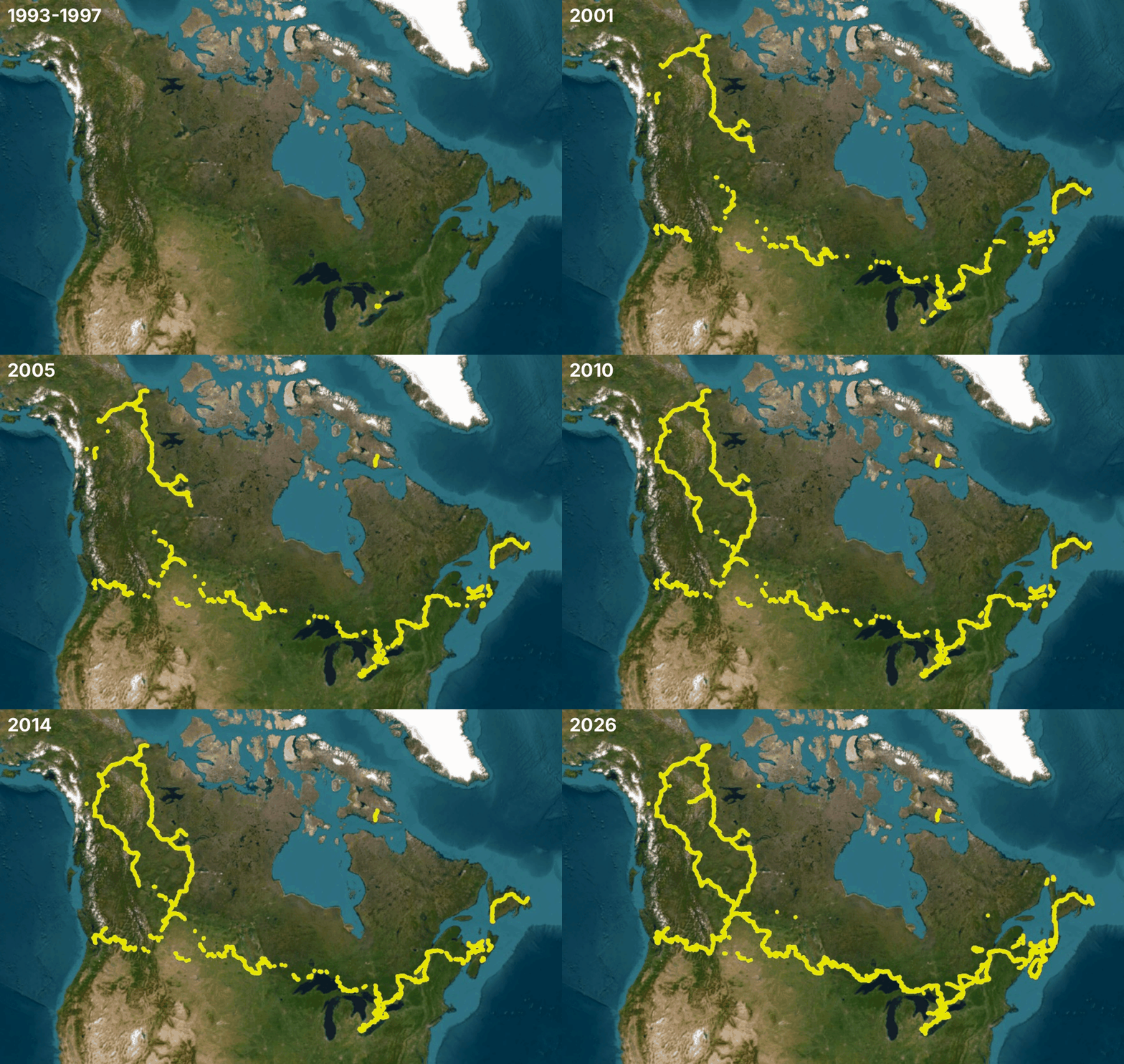
Take a look at how the Trail has grown over the past 30+ years.