
Claudia’s Trans Canada Trail: Paddling the Salish Sea Marine Trail along the Southern Gulf Islands

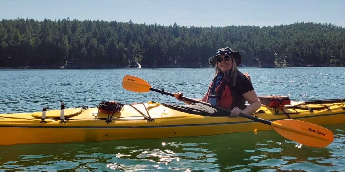
Written by Claudia Laroye
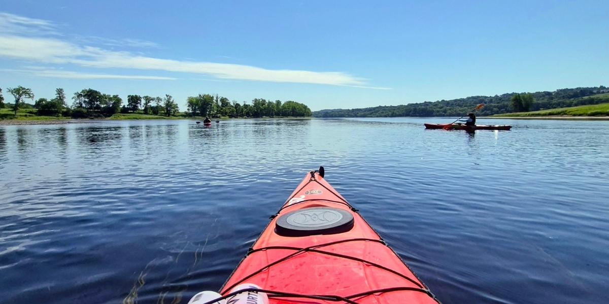
An occasional splash of seawater cools my hands, made hot by the high summer sun and the efforts to maneuver a canary yellow sea kayak through a narrow channel near Galiano Island’s rocky coastline. Small translucent moon jellies are caught up in the short-lived maelstrom of my paddling exploration, then gently drift away.
Galiano, one of the five main Southern Gulf Islands, sits in an advantageous position between Vancouver’s Lower Mainland and Vancouver Island. Its protected western shore comprises an important section of the Salish Sea Marine Trail, an extension of the Trans Canada Trail in British Columbia.
The Trans Canada Trail, which has officially reached 30,000 kilometres (18,641 miles) — more than 16 times the length of the Appalachian Trail — is the world’s longest multi-use trail network connecting more than 1,000 communities from the Atlantic to the Pacific and into the Arctic.
While most of the network consists of land-based pathways, the Trail connects the dots along Canada’s west coast via the scenic and accessible Salish Sea Marine Trail. The section I’m paddling travels along the Trincomali Channel between Galiano and Salt Spring Islands, two of the most popular and populated of BC’s Southern Gulf Islands.
The main Southern Gulf Islands – Galiano, Mayne, Pender, Saturna and Salt Spring – and smaller ones like Penelakut, Thetis and Wallace islands, are home to laidback lifestyles, artistic and agricultural pursuits, beautiful rolling hills and splendidly varied coastlines.
Whether paddling your own or renting from a local outfitter, kayaking among and between these wonderful islands along Trans Canada Trail’s Salish Sea Marine Trail is a fantastic way to explore this spectacular region.
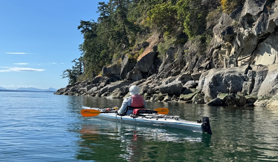
Photo credit: Claudia Laroye
Salish Sea Marine Trail
The Trans Canada Trail’s marine route travels through British Columbia’s Salish Sea (formerly the Georgia Straight). Opened in September 2017, the Salish Sea Marine Trail extends more than 280 kilometres, connecting Metro Vancouver, Vancouver Island and the Sunshine Coast through the Southern Gulf Islands.
The full Salish Sea Marine Trail is intended for experienced paddlers keen on a multi-day experience in a challenging marine environment that includes open sea crossings. Shorter sections are ideal and appropriate for paddlers of different skill levels. That’s where the stretch through the Southern Gulf Islands comes in.
One can choose to tackle a section of the Trans Canada Trail Marine Trail and kayak from Victoria to Nanaimo (or vice versa) through the Southern Gulf Islands, about 120 kilometres on a journey that can take 5 to 10 days. This multi-day adventure requires advance planning that includes booking campsite reservations along the route.
There are many launch and campsites to choose from in the Gulf Islands, and lots of possible route options. Many of the campsites are in the Gulf Islands National Park Reserve, a B.C. Provincial Park or a CRD Regional Park, and there are several convenient access points located on Vancouver Island and the Gulf Islands.
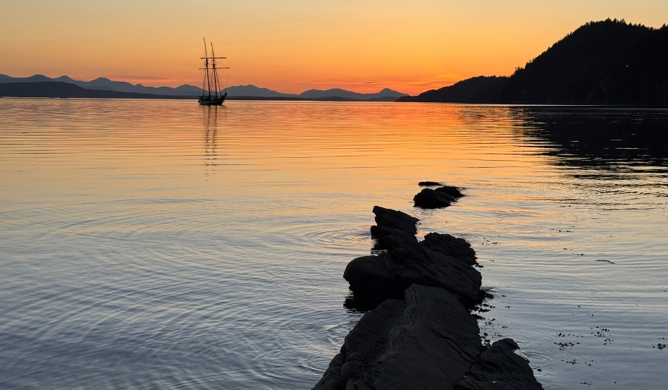
Photo credit: Claudia Laroye
Paddle a little or a lot
It’s also perfectly possible to paddle portions of the Trail while hugging close to the shorelines of Galiano, Prevost and Salt Spring Islands, taking advantage of calmer waters, sheltered coves, marine parks and the Southern Gulf Islands National Park Reserve.
As an intermediate ocean kayaker, I’m drawn to the possibility of exploring the marine environment in proximity to a land base. Galiano Island is highly recommended for its natural beauty, quiet coves, artistic culture, excellent culinary fare and spectacular summer sunsets.
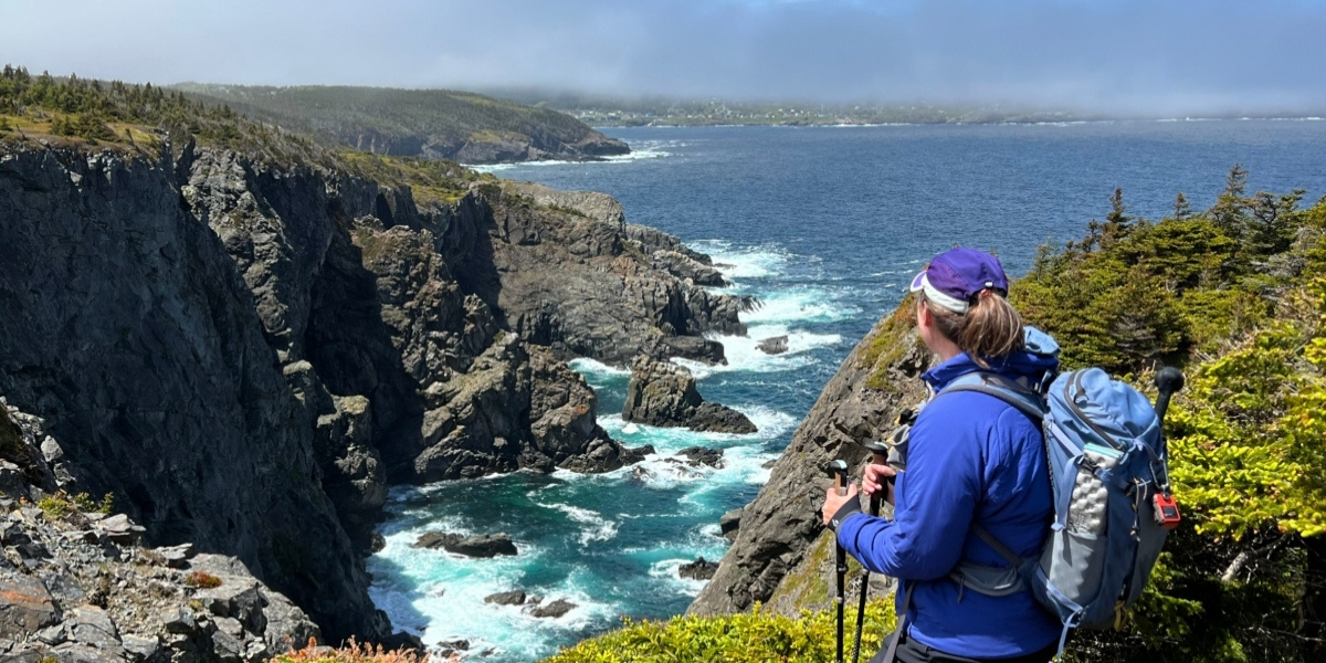
Facing the large, forested mass of Salt Spring, Galiano’s western coastline is sheltered and its waters easier to navigate. The shoreline features intriguing and beautiful sandstone caves, formed through erosion and creating a honeycomb of unusual rock formations.
At the tide line, an abundance of ocean life thrives just below the surface – bright purple and orange sea stars, crabs, jellyfish and tendrils of seaweed and kelp. The bark of a seal or belch of a sea lion are not uncommon, as are sightings of transient orcas and humpback whales.
The Galiano Conservancy, an island non-profit association formed to protect and restore island ecosystems, encourages boaters and paddlers to use best practices by staying 1,000 metres away from whales and to report sightings so that large vessels can be alerted to avoid them.
The whales elude my sight today, but that simply creates anticipation for a new opportunity to continue the journey. The Trail doesn’t stop when the road ends, it merely changes tack and becomes a new, unforgettable marine adventure to enjoy on British Columbia’s west coast.
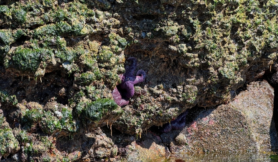
Photo credit: Claudia Laroye
Claudia Laroye is an award-winning freelance writer living in Vancouver, Canada. She writes about adventure, family, 50+ and sustainable travel for a variety of media outlets around the world, including; AFAR, NUVO Magazine, the Globe and Mail, Canadian Geographic, Toronto Star, Vancouver Sun, Saturday Evening Post, Explore and CAA Travel. Her award-winning travel anthology, ‘A Gelato a Day’ was published in fall 2022. Follow Claudia’s adventures at https://claudiatravels.com.
Explore Trans Canada Trail’s paddling routes and BC marine trails on our interactive map.
Before setting out, be sure to check trail conditions and assess difficulty and comfort levels for water routes in your area.
The Great Canadian Hike is a nationwide challenge to hike, bike, paddle or roll in support the Trans Canada Trail. From September 1 to 30, 2026, get active, log your progress and raise funds to help protect and maintain the world’s longest trail.
Feature photo credit: Claudia Laroye