Trail Profile: Sentier Nepisiguit Mi’gmaq Trail
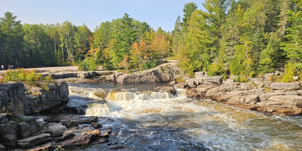
Following a historic Mi’gmaq migration route between summer encampments and winter hunting grounds, the Sentier Nepisiguit Mi’gmaq Trail offers a wilderness hiking experience in Northern New Brunswick’s Nepisiguit River Watershed, complete with rugged adventure, incredible views and pristine waterways.
What we love about this Trail section
• It’s the longest wilderness hiking trail in the Maritime provinces.
• It’s follows the Nepisiguit River through a variety of ecosystems – from Mount Carleton to Daly Point Nature Reserve!
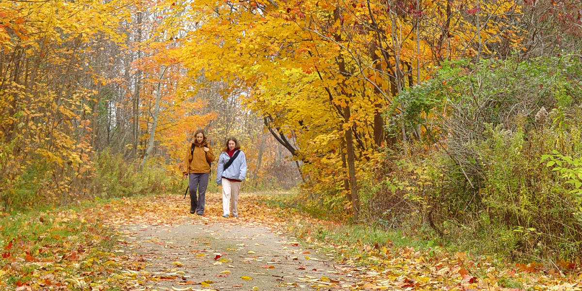
• It offers trail users a chance to experience the awe-inspiring natural environment in northern New Brunswick!
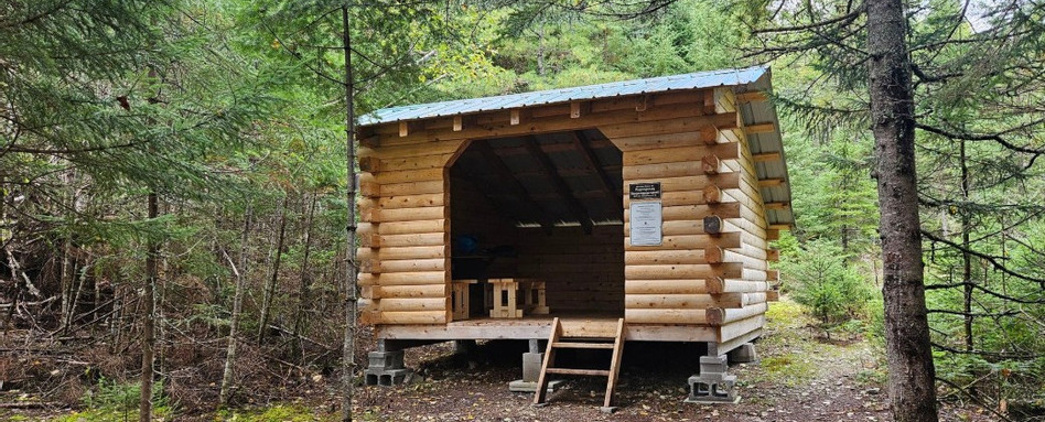
Photo credit : Sentier Nepisiguit Migmaq Trail Association
150 kilometres of wilderness trail
The Sentier Nepisiguit Mi’gmaq Trail (SNMT) offers 150 kilometres of wilderness trail, running from Mount Carleton Park in central New Brunswick to Daly Point Nature Reserve in Bathurst. The single-track trail follows the Nepisiguit River, tracing a historic Mi’gmaq migration route.
The trail group maintains a detailed trail map with information about what to expect at different points of the route. Overall, 21 access points are available.
Day hike and multi-day treks
The section of the Trans Canada Trail offers plenty of opportunities for day hikes. For avid adventurers, multi-day treks and thru-hikes are also available. Note that for overnight hikes and longer, registration is required with the trail group.
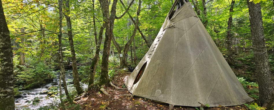
Photo credit : Sentier Nepisiguit Migmaq Trail Association
From Daily Point Nature Reserve to the Nepisiguit River and beyond
The trail’s easternmost point is at the beautiful Daly Point Nature Reserve, a popular spot for day trippers near Bathurst. It then follows the east side of the city of Bathurst before reaching the estuary of the Nepisiguit River, which it follows for 140 kilometres, all the way to the Appalachian Mountains in Mount Carleton Provincial Park. The SNMT can be hiked in either direction – thru hikers have shown a slight preference for going west to east, likely so they can wrap up around Bathurst and enjoy everything the city has to offer!
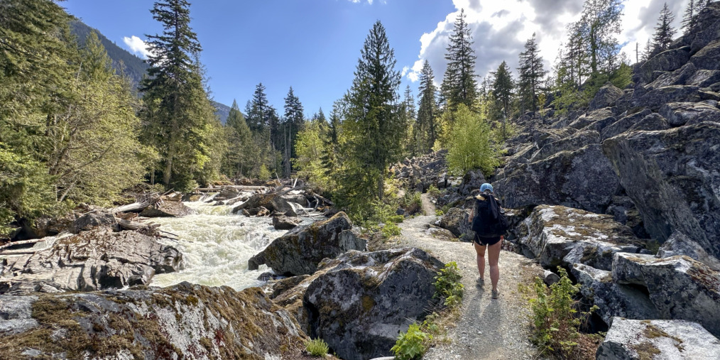
Popular spots en route include the Pump House, Red Brook and Middle Landing, each of which can be explored on the trail group’s interactive map. The trail passes alongside waterfalls, and includes incredible viewpoints, plus cable bridges, log shelters and teepees, in addition to parking lots and access paths, so you can choose the trail section most appropriate for your outing and go from there.
Find detailed information about the different trail sections from the trail’s guidebook.
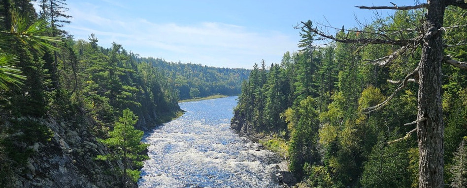
Photo credit : Sentier Nepisiguit Migmaq Trail Association
Activities available year-round
The trail opens around June 1 (check the local trail group’s Facebook site for updates each spring). Hikers can register up to October 15, and multi-day and thru hikers must complete their trips by November 1.
While most of the trail is closed from November 1 through the winter, a few sections close to the city of Bathurst – Access A and E on the access points map provided by the trail group – are options for winter activities.
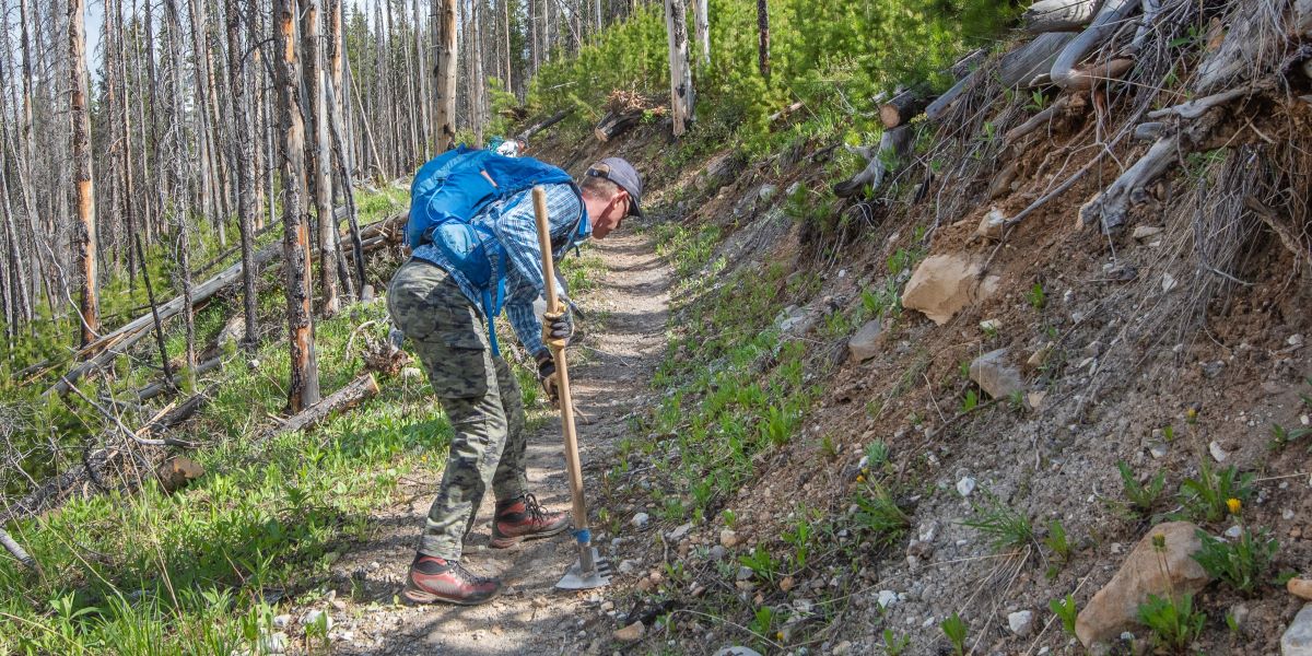
Note that the SNMT is a challenging wilderness trail and most sections of the trail do not have regular cell service. Be sure to do your research about access points and difficulty levels (including how to travel to and from the access points), and plan your trip accordingly. In the spring and fall, water levels are high, and wet weather and changing conditions are a reality on the trail, so be sure to follow the trail group’s safety precautions before setting out.
Thank you to the Sentier Nepisiguit Mi’gmaq Trail Association
The trail is managed by the Sentier Nepisiguit Mi’gmaq Trail Association. In addition to managing the trail, keeping the interactive map and Facebook page updated with safety information, and tracking registrations, the group also has guidebooks and maps available for purchase (see question 3) for those looking to explore the trail.
Learn more about the Sentier Nepisiguit Mi’gmag Trail on the trail group’s website.
Sign up to Trail Talk for more trail stories.
Main photo credit : Sentier Nepisiguit Migmaq Trail Association


