Trail Profile: Goderich to Guelph Rail Trail
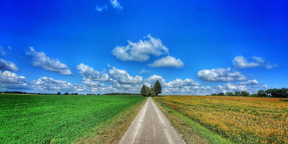
Explore the Goderich to Guelph Rail Trail, commonly known as the G2G, a 132-kilometre-long multi-use greenway that spans from Goderich to Guelph, Ontario. A stretch of the trail between Guelph and Wallenstein was previously part of the Trans Canada Trail network; we’ve now welcomed the G2G in its entirety to the Trans Canada Trail, and we couldn’t be happier!
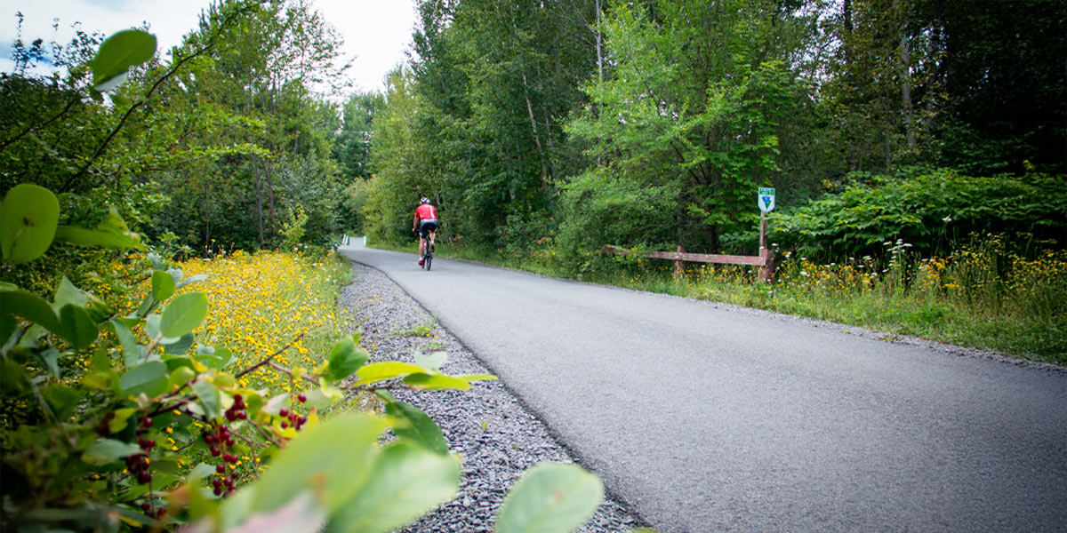
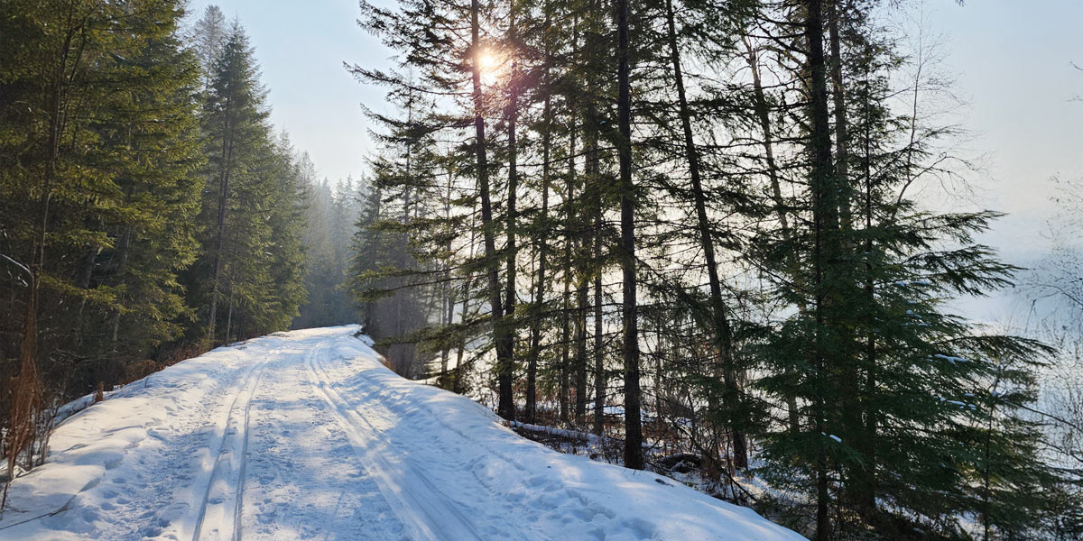
Built on an abandoned railway right of way, the G2G provides an excellent option for walking, hiking, birding, wheeling and cycling in the warmer months, and snowshoeing and skiing in the colder months.
What we love about this section of the Trail
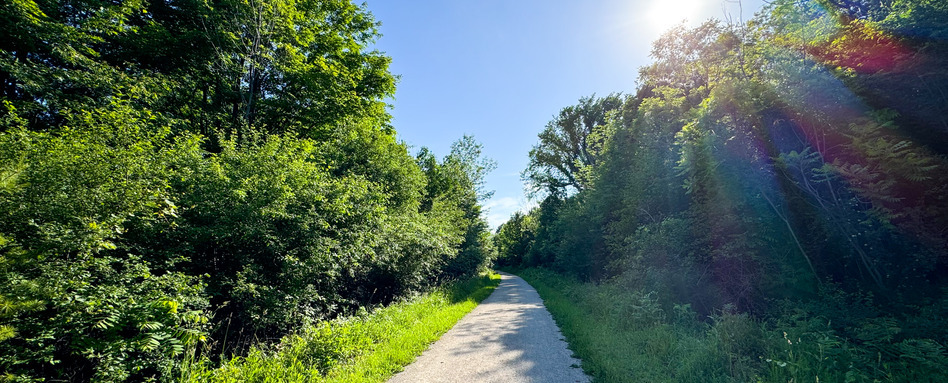
Photo credit: Trevor Hunsberger
• Its compacted stone dust surface and low incline make it ideal for a number of activities on foot or on wheels, for all ages and experience levels.
• It offers users the chance to travel through several different landscapes, showcasing the beauty of southwestern Ontario.
• It offers a glimpse into local culture: farms and bakeries along the Trail offer Mennonite specialties!
• It acts as a transportation corridor in the area for the local population.
Connecting communities for over 100 years
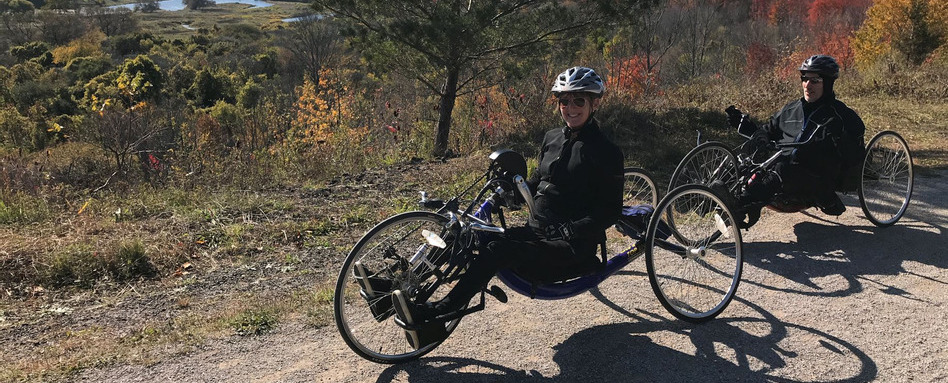
Photo credit: Cyndy McLean
The G2G was originally built by the Guelph & Goderich Railway in 1907 to link the port at Goderich to several rural communities and to Guelph and beyond. Passenger railway service operated until 1955, and in 1988, Canadian Pacific Railway began decommissioning the entire line. The Goderich to Guelph Rail Trail was officially completed in 2021. It connects downtown Guelph to Goderich via 13 towns and villages, and takes trail users through rich, varied landscapes: scenic countryside, farmland, woodland, along streams, rivers and wetlands, through residential areas and more. The trail continues to the east at Lake Huron at the Port of Goderich.
Beautiful bridges en route
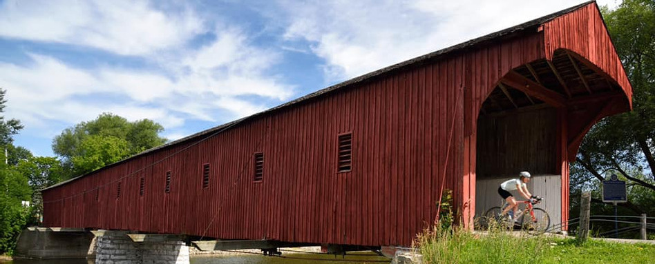
Photo credit: Matthew Hussey
Several sites of historical interest can be found along the G2G, but two stand out: the Menesetung Bridge in Goderich, which was built between 1904 and 1907, and required 1,000 workers and 50 teams of horses to complete! And, along the Kissing Bridge Trail section of the G2G, the West Montrose Covered Bridge is the only remaining covered bridge in Ontario. It was built in 1881 and is still operational today.
Showcasing the region’s attractions via the trail
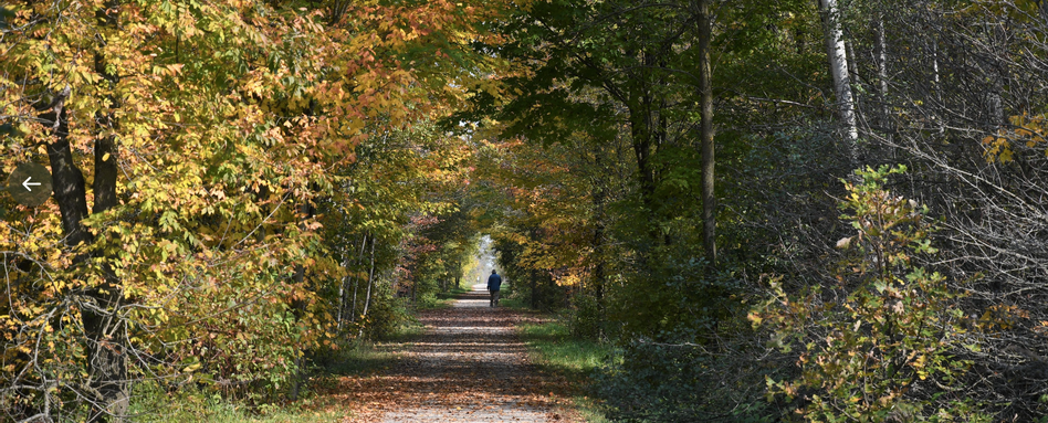
Photo credit: Dan Congdon
As the G2G passes directly through several communities along its route, it’s the perfect way to discover local attractions and businesses. For those looking to explore the area further, the Guelph to Goderich Rail Trail group maintains a detailed interactive map that features local attractions, businesses and sites of interest. Trail users can explore their section of the larger G2G, take notes of spots to stop for a snack or a drink, and find accommodations and information about connecting trails and trail infrastructure in the area.
Learn more about the Guelph to Goderich Rail Trail and how to get involved on their website!
Explore the Goderich to Guelph Rail Trail on our interactive map!
Photo credit for feature photo: Will Prentice


