Vanessa’s Trans Canada Trail: Discovering Carleton Place
Translated from French, written by Vanessa Racine
I like to think that I’m familiar with Eastern Ontario, the region I’m from, but I’d never explored Carleton Place, a small town some 50 kilometres west of Ottawa. And because Carleton Place lies at the intersection of two Trans Canada Trail sections, I told myself it would be the perfect opportunity to combine hiking and discovery!
I love hiking long-distance trails, and the Trans Canada Trail is no exception. For me, hiking the Trail not only provides a unique way to see the country’s diverse landscapes up close, but also allows me to delve into the very heart of the communities it passes through. There’s nothing I love more than coming back from a hike exhausted but feeling like I’ve learned more about the history of the place!
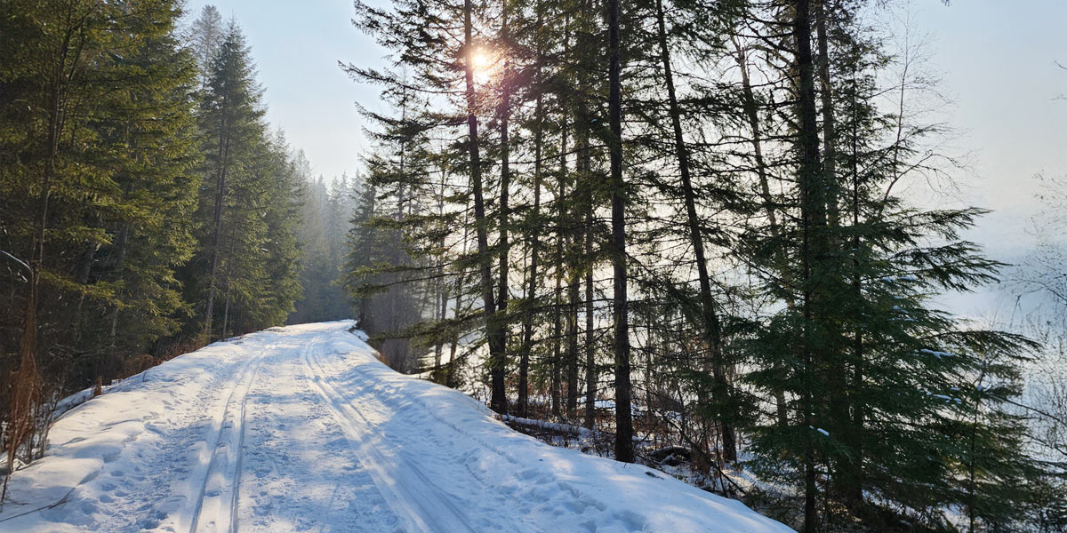
So, I was delighted to get back onto the Trans Canada Trail. I dressed warmly, got out my snowshoes and was about to hike the Carleton Place Trailway for the very first time.
A glimpse into the area’s railway past

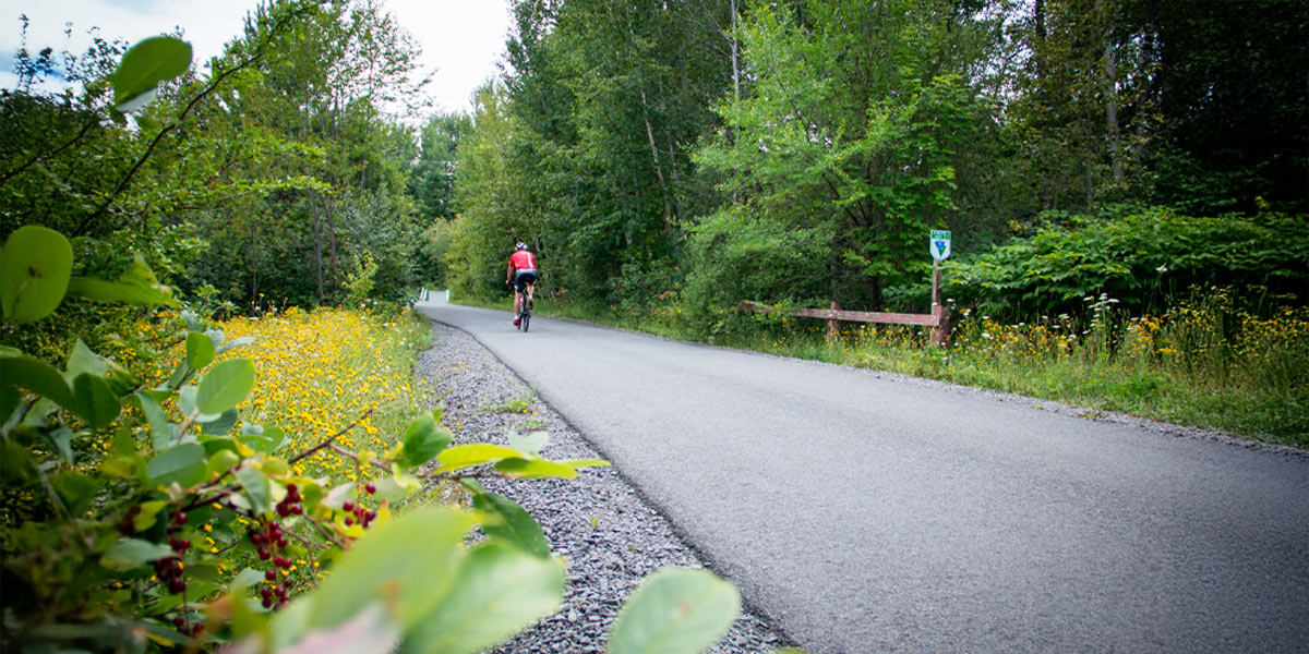
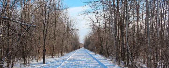
The Carleton Place Trailway is a linear trail built on an old railbed that once linked Carleton Place to Ottawa. Following the Trans Canada Trail westward, the Carleton Place Trailway takes you from the National Capital Region into rural Lanark County. This Trail section is flat and not very hard to follow, nor is it very exciting, but it was quite peaceful under a blanket of snow.
When you arrive at Carleton Place via the Trans Canada Trail, your initial vantage point doesn’t showcase the town at its most photogenic. Garages, warehouses and a gas station give the impression of arriving in an industrial park. But I took off my snowshoes (this section of the trail is paved) and continued my hike, coming closer to the town centre.
I enjoyed passing the former train station (today, a community arts centre) and seeing a mural recalling the area’s railway past. But to fully appreciate Carleton Place, I decided to stray a little from the Trans Canada Trail and head towards the town’s historic centre on the banks of the Mississippi River.
In fact, it was thanks in part to the Mississippi River – not to be confused with the river of the same name in the American Midwest – that Carleton Place was established and prospered. From the Indigenous people who used the Mississippi for fishing and trapping to the early European settlers who cleared the land and built mills to take advantage of the flowing waters, the river has played a central role in the development of the town, and of Lanark County.
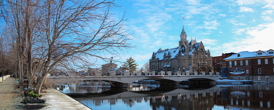
Although I’ve journeyed along the Mississippi River many times during my walks and hikes in the area, I must admit that I found it to be particularly grandiose at Carleton Place, bordered by a castle-like town hall, historic buildings and parks.
Beyond the river, Carleton Place is truly charming. Its main street, with its numerous shops and cafés, is an inviting place to stroll. I also liked the town’s many murals, which add a pop of colour to the white shades of winter.
Tired legs, but a head filled with images
After my long walk through the historic centre of Carleton Place, I returned to the Trans Canada Trail. At the intersection of Lansdowne and Coleman Streets, the Trail branches off to the south, this time following the Ottawa Valley Recreational Trail, another trail built on an old railbed. I followed it all the way to Highway 7 at the edge of town before calling it a day.
The Trans Canada Trail continues to Smiths Falls, the Rideau Lakes region and beyond. But that’s an adventure for another time. I returned home with tired legs, but a head filled with images of my first visit to Carleton Place. It was a sign of a successful day!
Vanessa Racine is a former journalist who now works in communications in Ottawa. Passionate about the outdoors, wide-open spaces, travel and writing, she shares her hiking stories on her blog, and on Facebook and Instagram.


