Trail Profile: East Blow Me Down Trail
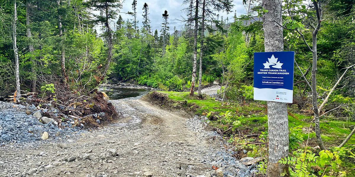
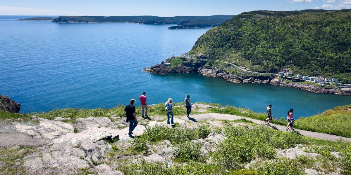
Exciting news for trail-goers on the East Coast: we have a new Trail section! We’re so pleased to welcome the East Blow Me Down Trail as of late 2024. Situated in the Bay of Islands South region of Western Newfoundland, the East Blow Me Down Trail runs from Clark’s Brook to near Benoit’s Cove. It’s located in the Elmastukwek First Nation community.

What we love about this Trail section

• It’s got incredible views. And we mean incredible.
• It’s part of a geological wonder: it’s built on a mountain range that was formed hundreds of millions of years ago!
• It’s near the popular hiking trails in Benoit’s Cove if you’re looking to extend your exploration.

Fascinating history and geological features come to life

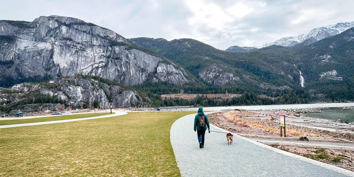
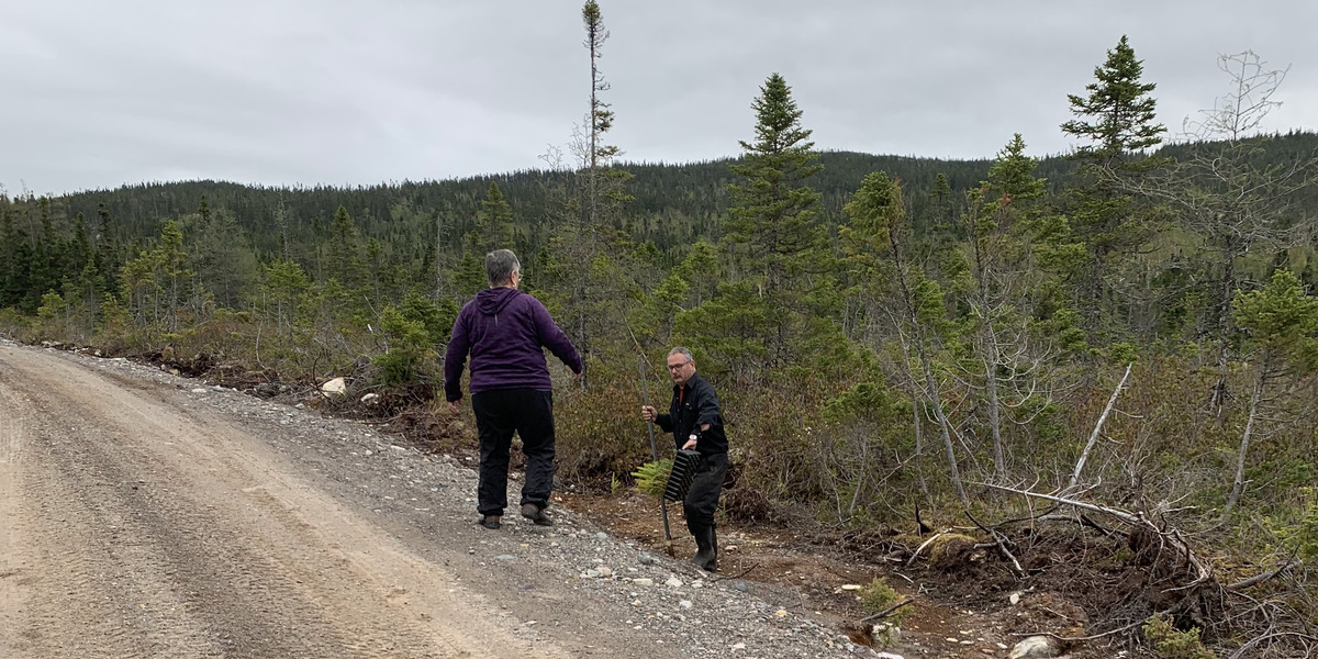
The East Blow Me Down Trail is a 3.5-kilometre hiking trail that takes you through forested areas, and alpine valley and rocky mountain terrain. It’s part of the Blow Me Down Mountain, so named in the 18th century by explorer James Cook, based on the area’s strong winds.
Blow Me Down Mountain is one of four Ophiolite Massifs, along with Lewis Hills, North Arm Hills/Gregory Mountains and Tablelands. The massifs emerged approximately 475 million years ago during the closing of the Iapetus Ocean, the precursor of the Atlantic Ocean, caused by plate tectonics.
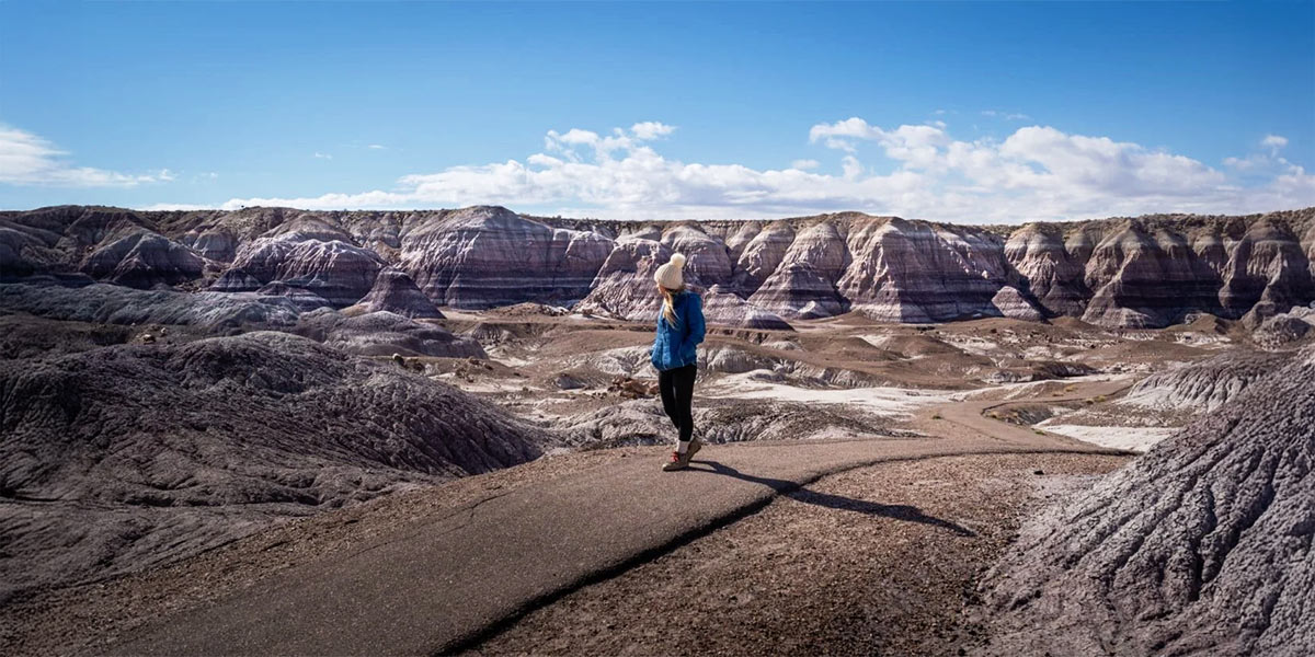
As you’re hiking along the trail, make it a point to stop to view the eastern end of the mountains, which is mainly composed of a rust-coloured peridotite from the planet’s upper mantle. The western end of the mountains, on the other hand, is mainly light grey, formed by magma that rose and filled the gap between tectonic plates.
The East Blow Me Down Trail – and the mountain range – is part of the Cabox Geopark, an aspiring Canadian Geopark connected to the UNESCO Geopark network.
Jaw-dropping views, trails and attractions

In addition to the main hiking trail, a shorter, 500-metre side trail takes you to three scenic lookouts on top of the aptly named Lookout Hill. As you can imagine, photo opportunities abound. You can also take a short detour off the trail to explore the barren mountain range. (Disclaimer: be sure to follow safety precautions any time you go off-trail!) For those looking to extend their trail adventures, the community of Benoit’s Cove has great trails on offer. You’ll also find dining options in town if you’d like to stop for a snack pre- or post-Trans Canada Trail adventure.
Thank you to International Appalachian Trail Newfoundland and Labrador
Our thanks go out to the International Appalachian Trail Newfoundland and Labrador (IATNL) for their dedication to making this Trail section a reality. The IATNL would like to recognize several parties that championed the trail: the town of Humber Arm South (a Qalipu Indigenous community), Qalipu First Nation, Elmastukwek First Nation, and Saltbox Restaurant and Everoutdoor Adventures for all their support.


