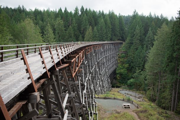
Canada’s west coast from a very different perspective.
Your adventure begins off the coast of Vancouver Island, where you’ll experience the Trans Canada Trail from a whole new perspective: The Pacific Ocean.
The Salish Sea Marine Trail connects the southernmost tip of Victoria to the town of Lantzville, with passage through the arresting beauty of the Gulf Islands. From there, you cross the Georgia Straight to the Sunshine Coast, where the Trail leads to the town of Squamish at the north end of Howe Sound.
For this itinerary, you’ll spend most nights camping on beaches, picnicking and exploring the Gulf Islands at your own pace. Come prepared and don’t forget a camera.
Please note: trail users who wish to complete the entirety of this trail must have experience travelling by water.
BEFORE YOU GO
Please consult the latest updates from the Government of Canada, as well as your province/territory, your municipality and the organization that manages your chosen section of the Trail.We strongly encourage everyone using trails in our network to abide by all public health guidelines.
Day 1: Salt Spring Island
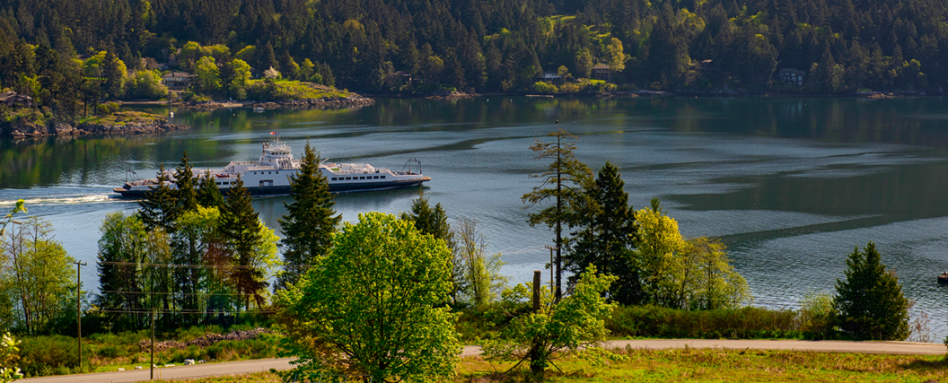 Start your journey on Salt Spring Island by setting up camp at Ruckle Provincial Park. Pitch your tent in the grassy meadow, relax with a good book in front of Swanson Channel, and lace up your hiking boots. Venture along the beach trail and find new viewpoints of the channel.
Day 2 & 3: Galiano
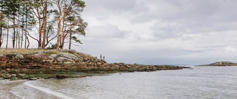
Photo: Ben Giesbrecht
Wake up early and head to the beach at Ruckle Provincial Park, where you catch the sunrise over the ocean. Enjoy breakfast on the beach, listening to birds as they welcome another day. You might even spot a ferry passing between the Mainland. But the abundance of birds and marine wildlife is the real attraction.
With bellies full and camp all packed up, it’s time to hit the water for the 15-kilometre journey to Galiano Island. Head northwest to Yeo Point, then straight north to Prevost Island, the perfect midway point for a midday snack.
James Bay on Prevost Island is a great place to have lunch. Stop at the rest area and have a quick picnic on the beach. This rest stop is right in the middle of the two islands, so it’s a great place to rest before the journey continues. When you’re ready, slide back into your kayak and head northeast, but stick close to the beach until you’re around Peile Point. This is an active passage with two ferry routes, so it’s a good idea to wait until you have proper visibility before venturing out into the crossing.
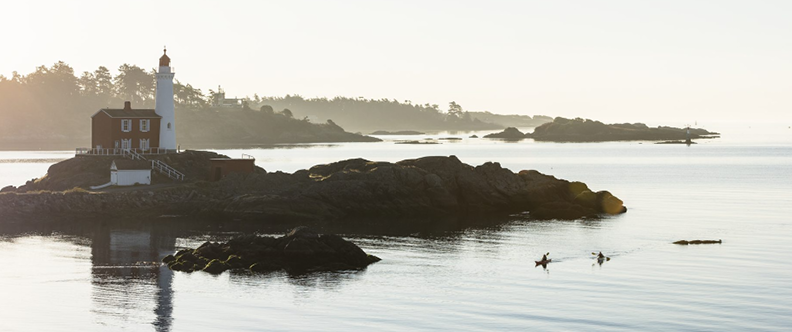
Photo: Destination BC/Reuben Krabbe
From here, you have a choice in where you’d like to stay on Galiano. If you’re camping and don’t need any supplies, you can head to Montague Provincial Campground. The sheltered waters offer a peaceful location to set up camp, but there is a large raccoon population so you’ll want to securely store all food inside your kayaks. If you’re in the mood for a warm meal, you can head over toThe Crane and Robin Restaurant at Montague Harbour. Savour a salad bowl or fish tacos made with local ingredients.
Alternatively, if you’re looking for amenities, you can head east around the island to Galiano Oceanfront Inn & Spa for a relaxing overnight stay in their coastal accommodations. The Inn has smart cars available for rent, so getting out to see more of the island is easy. In the evening, wine and dine at Atrevida Restaurant and visit Madrona del Mar Spa for a rejuvenating massage or facial.
Before leaving Galiano, you’ll want to ensure you’re fully stocked for the next few days, as you won’t encounter any services or places to eat until you arrive on Gabriola.
Day 3: Wallace Island
 Continue your paddling journey for another 15 kilometers northwest to Cabin Bay. Here you’ll discover Wallace Island, a small, uninhabited island that makes up the Wallace Island Marine Provincial Park. A trail stretches from one end of this elongated island to the other, and it should only take about an hour and a half to hike there and back.
The island doesn’t have any services or amenities, so make sure you’re well-stocked prior to arrival and keep in mind that you’ll need to pack all garbage out with you when you leave.
Day 4: De Courcy Island
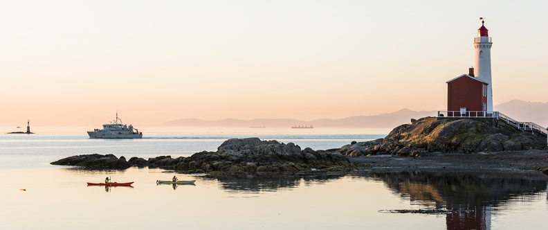
Photo: Destination BC/Reuben Krabbe
After another beautiful breakfast on the beach, it’s time to pack up and prepare for the longest leg of this journey. The distance from Wallace Island to De Courcy Island is roughly 20 kilometres. Along the way, you can stop at Whaleboat Island for a short break before continuing to De Courcy. As you paddle, it’s good to snug close to land where possible and keep an eye on the shoreline. These smaller islands are ripe with marine wildlife. Chances are good you’ll paddle past sea lions, harbour seals and otters resting on the rocky shores. Stick close to Valdez to find naturally carved sandstone caves and eroded rock features.
Valdez is part of Snuneymuxw First Nation’s traditional territory. While it’s currently not open to the public, the views from the water are spectacular and it makes for a great commute from Wallace to De Courcy.
Day 5: Gabriola Island
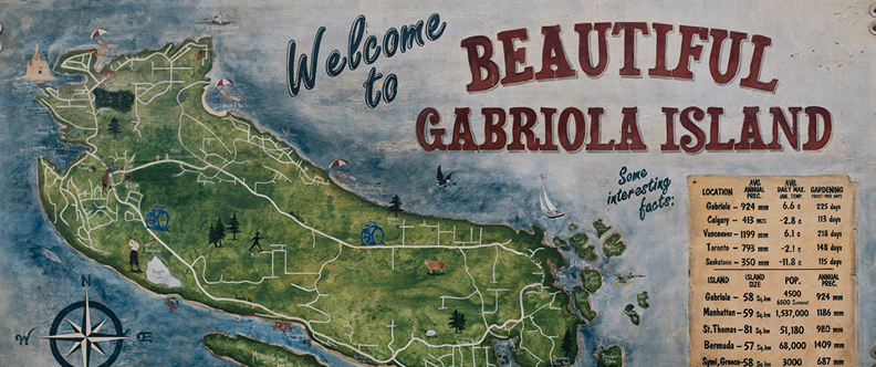 On the final day of your journey, you’ll leave De Courcy and head northwest to Gabriola Island. With Vancouver Island, Mudge Island, and Gabriola snugged closely together, the passages between them are narrow and often busy during the summer months. Continue on the north side of Mudge Island, keeping close to the southern edge of Gabriola along the rocky bluffs. Note that it can become very shallow and currents can flow with or against you through this area so paddle carefully and take time to enjoy this lovely area. Paddle until you reach Descanso Bay, just past the Gabriola Island ferry terminal. Descanso offers 32 oceanfront camp sites adjacent to the 113-acre Cox Community Park, where you can explore a small network of hiking trails.
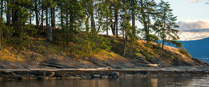
Photo: Destination BC/Reuben Krabbe
Eager to spend a little more time on Gabriola? When departing from De Courcy Island, you can head north to Silva Bay, home of Page’s Resort & Marina. There, you’ll find a campground, beach cottages, and other accommodations. The Gertie Bus — Gabriola’s community shuttle service, makes it easy to get to and from the marina to grab groceries from Folk Life Village. Silva Bay also features some great day paddling around the Flat Top Islands.
Always consult the tide charts and current tables prior to and during your expedition.
Getting there
BC Ferries offers three connections between Vancouver Island and the mainland as part of the Trans Canada Trail:
- West Vancouver to Nanaimo
- Tsawwassen to Duke Point
- Tsawwassen to Swartz Bay
Booking a guided tour
While this itinerary is great for experienced kayakers with all of their own equipment, several local kayaking companies have everything you need for a fully guided, multi-day marine adventure. In Victoria, be sure to check out Ocean River Sports. On Gabriola, visit Gabriola Sea Kayaking.


