Getting to Know the GIS Team at Trans Canada Trail
November 20 is GIS Day, and we decided to take a deep dive into the world of GIS — or Geographic Information Systems — and introduce our exceptional GIS team here at Trans Canada Trail.
So, first things first: What is GIS? What does it do? What is it used for? What makes it so cool?
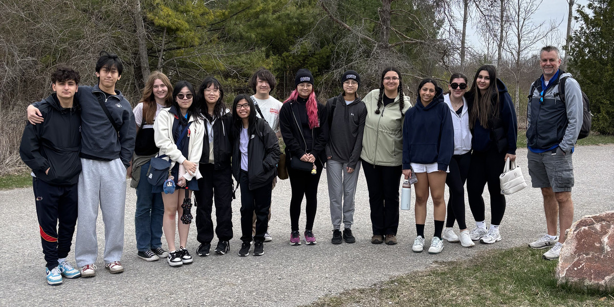
We spoke with Trans Canada Trail’s Lesley Johnson, Manager, GIS; Jenna Sie, Coordinator, GIS; and Joe Young, Analyst, GIS, to better understand the wonderful world of geographic information systems — and its applications within our organization and beyond.
All about GIS

TCT: Help us understand! What is GIS?
Lesley (LJ): Geographic information systems, or science, is a technology that maps and analyzes data related to places on the Earth. The GIS team at Trans Canada Trail are experts in handling all those layers of information. We collect, research, analyze and visualize the Trail data relative to environmental and social layers of data across Canada to help the organization, as well as the public, to understand the Trail and its surroundings.
Making information available to all trail users

TCT: Please describe your day-to-day work with Trans Canada Trail. How do you spend your time, and how does this work help other departments in the organization?
LJ: As the Manager, GIS, I act as the project manager for ongoing and new initiatives that involve the GIS team. I also administer our web mapping platform and make sure that all the software that our team needs, such as ArcGIS Server and ArcGIS Pro, is working as it should. Working with ESRI Canada, who provides us with all these amazing tools at no cost, gives us a lot of options for a charitable organization!
Jenna (JS): As the Coordinator, GIS, I’m across the details of Trans Canada Trail projects that happen on the ground at the local level, keeping things updated and reflecting that work on our interactive web map. In 2024, for example, we processed upwards of 600 projects over a 10-month span.
Joe (JY): As the Analyst, GIS, I’m on the process side of things, making sure that our geospatial data pipeline is efficient, robust and reliable.
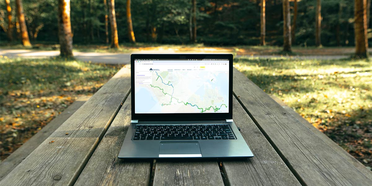
LJ: The culmination of our work — and the most public — is our interactive web map. It’s one of our projects that serves the most people: trail groups and trail users across the country. We make sure that the trail map is up to date, not only for the public, but also for internal staff to consult and use as a communication tool with external partners.
Ensuring accurate information and safe access to trails
TCT: What is on the horizon that you are most excited about? Or any recent projects you’d like to discuss that turned out great?
LJ: The GIS team has many exciting projects on the go! We’re focused on structuring our data collection processes so that we can have precise and up-to-date trail information for the public and our staff. We’re also getting ready to publish new layers of information, such as trail experience and accessibility, on our public web map. Those are the two major areas of focus, but we have many other projects that support the amazing work of our other colleagues.
JS: Yes, in the backend, we’re working more with open-source information like Open Street Map and Strava, so we can say with certainty how most users are moving along different Trail sections, and indicate areas that may require signage, repairs and so on. Keeping 29,000 kilometres of Trail information up to date is no small task, and all of these open-source resources are very helpful in making sure we’re providing accurate and safe information to trail users from coast to coast to coast.
Another thing I’m excited about is being able to communicate the amazing projects our Trail team is working on — for example, working with local trail groups to incorporate Indigenous signage on certain sections of the Trail — and some of these projects were recently highlighted in the Recognizing Indigenous languages on the Trans Canada Trail StoryMap article!
JY: We’ll also be able to add more timely Trail closure and detour information, because of inclement weather, for example, thanks to incorporating open-source data into our workflow.
Expediting essential Trail repairs

TCT: So far, we have mainly focused on how your work impacts trail users. Can you also describe how collecting all of this information helps us as an organization internally?
LJ: Yes! One example is when Trans Canada Trail staff needs to respond to damage to the Trail from weather events. So, we can give them detailed information quickly, for example, if we receive reports that a key piece of infrastructure along the trail has been damaged, the GIS team can analyze what extent of trail has been impacted, and at which entry/exit points signage needs to be put in place. Being able to provide that critical information without delay is a real benefit, and it pays off when these emergencies happen. Trans Canada Trail has an emergency repair fund for trail groups, and we’ve been able to help trail groups make essential repairs, thanks in part to our ability to access data quickly and accurately.
We also love helping showcase parts of the Trail — for example, earlier this year, we helped create a map for users to share their favourite local Trail sections and raise awareness about how so many local trails are part of a coast to coast to coast trail system! It’s really fun and inspiring to work on sharing trail stories.
Our GIS team’s favourite Trail spots
JY: The Capital Pathway in Ottawa! I love biking on it! And Gatineau Park is perfect for trail running.
JS: Growing up, I loved to explore the South Whiteshell Trail when staying at my family’s cottage, and nowadays I try to get on the trails at Fish Creek Provincial Park any chance I get.
LJ: Lake Superior Water Trail! I went camping as a kid every summer at Agawa Bay, and we would always kayak along the shore to see pictographs. It’s amazing.
Learn how to elevate your Trans Canada Trail adventures thanks to our interactive web map – and explore the Trail across Canada!


