Ashlyn’s Trans Canada Trail: Tracing the Trail by Water
Paddling the Trail into Saskatoon
Written by Ashlyn George
From my vantage point atop a paddleboard, I coast quietly with the current, the slumping sandy banks of the river climbing several metres high around me. To my left, a hawk rides the thermals above the cottonwoods dotting the shore. Though the bridges of Saskatoon are still hidden from view, I know they’re just a few bends ahead. For now, the river remains quiet and wild — nature holding strong, even as the city draws near.
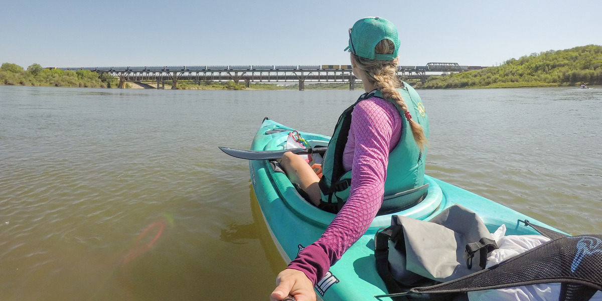
Around each curve, the signs of the city begin to grow: trails weaving their way down to the shoreline, the echo of a dog barking. As I paddle the final bend into the city, I pass under the Gordie Howe Bridge and wave at a cyclist breezing by on the multi-use walkway. The city skyline rises in the distance, framed by trees and silty banks. It’s a unique way to arrive — under your own power, guided by the current, travelling a path shaped over time.
What makes this route particularly special is that it’s not just a river; it’s a trail. One of Canada’s most unique trail experiences, in fact. The Chief Whitecap Waterway is a 125-kilometre section of the Trans Canada Trail that flows along the South Saskatchewan River, from Gardiner Dam at Lake Diefenbaker into the heart of Saskatoon. It’s one of only a handful of waterway routes within the Trail system, offering a paddling experience that combines nature, scenery, and a whole lot of sandbars.
A water trail rich in history and adventure
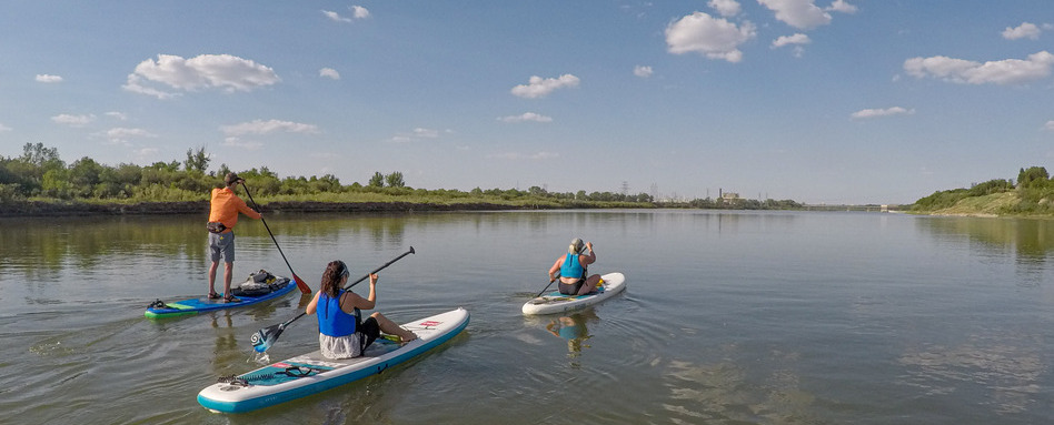
Photo credit: Ashlyn George
The South Saskatchewan River has long been a transportation corridor, first for Indigenous peoples, then by European explorers and settlers. Today, paddlers can retrace this route on canoe, kayak or paddleboard, navigating a waterway that winds through open prairie landscapes, sandbanks, and river islands. Along the way, you’ll pass by the community of Outlook, cross through Whitecap Dakota First Nation, and arrive in Saskatoon under its iconic bridges.
This route, named in honour of Chief Whitecap, a co-founder of Saskatoon and key figure in regional history, is more than just scenic. It underscores the growing recognition of Indigenous histories and connections to the land across the Trans Canada Trail network.
Planning your paddle
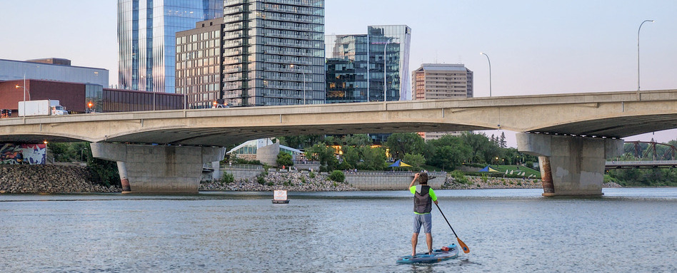
Photo credit: Ashlyn George
I’ve paddled the entire length of this waterway over the years by paddleboard, kayak and canoe. It’s a route that always surprises me with its sense of remoteness so close to the city and how much it changes with the season and water flow.
Some paddlers take on the full three-day journey from Gardiner Dam or Outlook (100–125 kilometres), but most prefer an easy day trip. Two popular launch points are at Fred Heal Canoe Launch or Poplar Bluffs Conservation Area, roughly 20 kilometres and 12 kilometres, respectively, south of Saskatoon. From here, it’s an achievable full or half-day float into the city.
Before setting out, check the water levels of the river as listed by the Saskatchewan Water Security Agency as well as wind and weather conditions. If the wind picks up while you’re on the water (as if often can in Saskatchewan), stay close to one side of the riverbank to make paddling easier.
Whether you’re paddling solo or with friends, safety is key. Always wear a PFD and keep your gear properly sealed in a waterproof dry bag. Shifting sandbars can be deceptive — more than once I’ve been in ankle-deep water mid-river, maneuvering my paddleboard and its fin into deeper sections.
Getting there and back
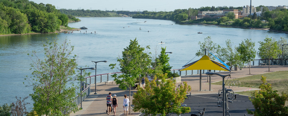
Photo credit: Ashlyn George
If you’re finishing in Saskatoon, plan your vehicle logistics in advance. You’ll want one car at your launch point and another at your pull-out location. Consider where you want to end your trip: the Victoria Park Boathouse, Rotary Park, or the iconic stretch in front of the Bessborough Hotel. My recommendation is to float the final stretch to the Bessborough so you can experience going under the bridges and arrive in the heart of downtown. Keep in mind that parking near the Saskatoon Boat Launch can be limited during the busy summer months.
Paddle the Trail less travelled
What makes this waterway unique is its link to something much larger. The Trans Canada Trail stretches nearly 30,000 kilometres across the country. While many know the Trail as a route for hiking or cycling, its water sections offer a different kind of connection linking landscapes, communities, experiences, and stories along the way.
Ashlyn George is an award-winning travel writer and photographer based in Saskatoon, Canada. She has travelled to nearly 70 countries across all seven continents and shares her outdoor adventures on her blog, The Lost Girl’s Guide to Finding the World. Find her on social media at @thelostgirlsguide
Explore the Chief Whitecap Waterway on our interactive map!
Feature photo credit: Ashlyn George


