Trail Accessibility Mapping Program

Through 2021, Trans Canada Trail continued its partnership with AccessNow, a crowd-sourced mobile app and web platform that shares public-facing information about the accessibility of the built environment by capturing the lived experiences of people with disabilities. The goals of the program are to gain a better understanding of the level of accessibility of the Trail, to communicate this information to the public, and to work with local trail operators to remove barriers and increase access.
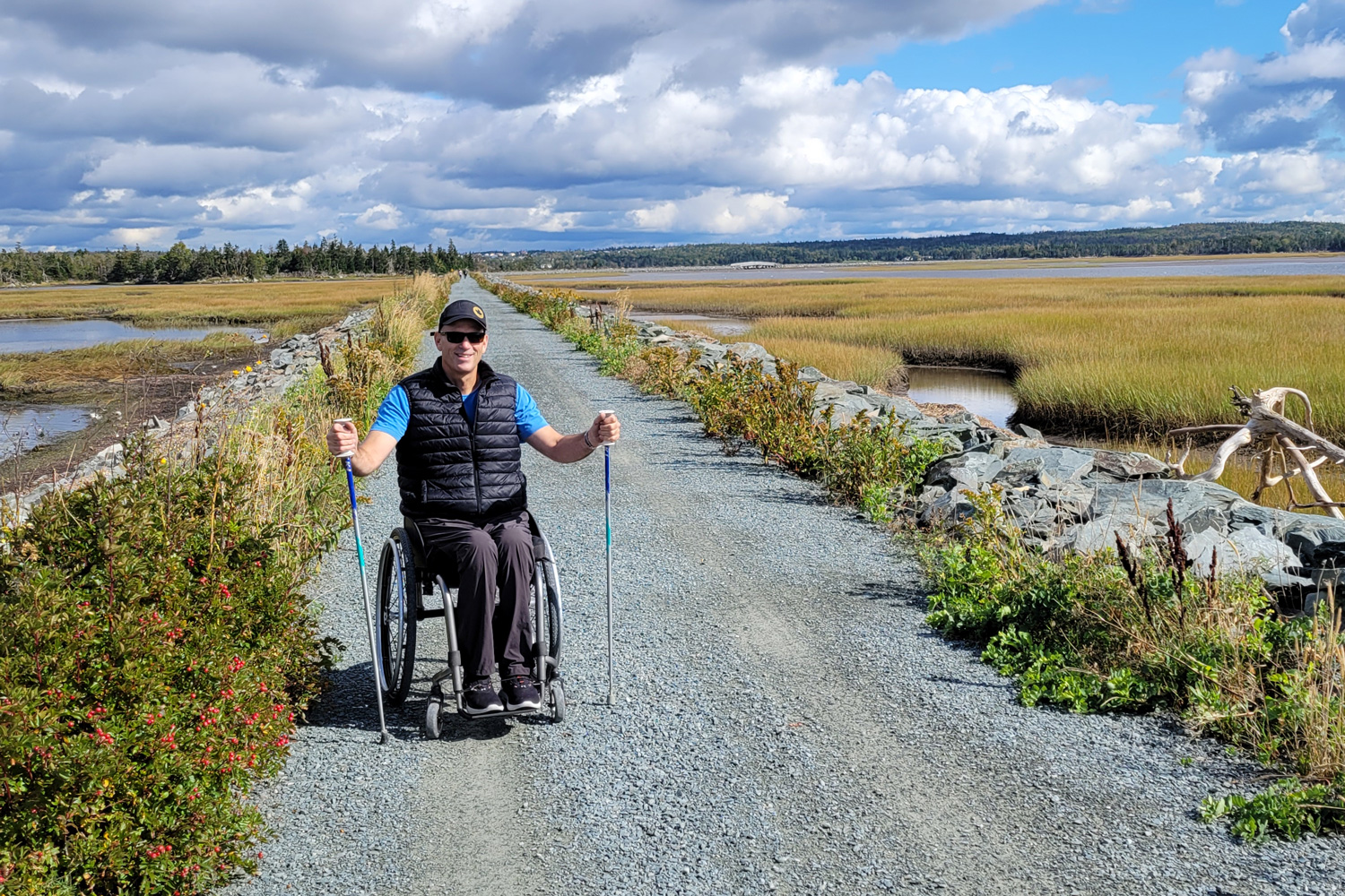
- AccessNow – Photo: Paul Tingley
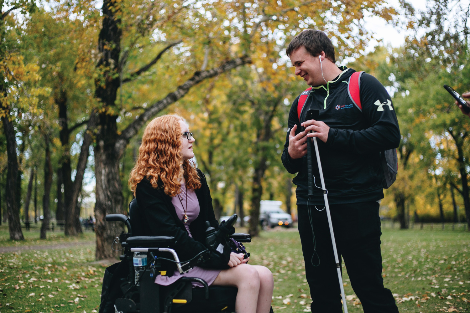
- AccessNow – Photo: Alexa Fernando
Mappers, along with volunteer guides, documented features related to accessibility along each Trail section that was mapped. This year, we grew the program in scope, region and kilometres – mapping more than 400 kilometres over 30 Trail sections.
Spanning every province and territory, the program employed mappers with a range of perspectives, including those with low vision, cerebral palsy, mobility disabilities and intellectual disabilities.
Following each mapping exercise, the mapping data was provided to trail operators through custom-made presentations that included an overview of the program and the results. Following the success of the 2020 mapping, several trail operators made accessibility improvements to their sections of the Trail, as a direct result of this program, and we see enormous potential for improvements that could be made as a result of the 2021 mapping.


